


10.8 km | 13.3 km-effort
Quimper: Discover the best trails: 79 hiking trails and 13 bike and mountain-bike routes. All these trails, routes and outdoor activities are available in our SityTrail applications for smartphones and tablets.
Walking


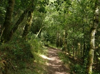
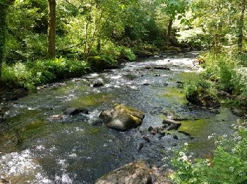
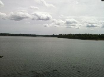
• Randonnée facile (mais faites toujours en fonction de votre endurance et de vos capacités) au fil de l'Odet.

Walking

Walking

Walking
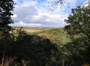
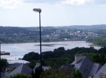
• Stangala + Cuzon
Walking
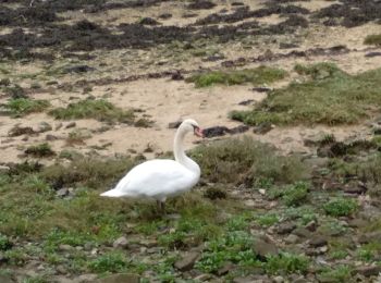
• Très jolie randonnée sur les bords de l'Odet avec deux traversées de passerelle du (petit fleuve)
Walking
•

Walking
Walking

Walking
Walking

Mountain bike
Mountain bike
Mountain bike

Walking
•

Walking
Walking

 10.305
sport
• guidée par Christian

Mountain bike
Walking
Cycle
20 trails displayed on 96
FREE GPS app for hiking
 SityTrail
IGN / Geographical institutes
SityTrail World
The world is yours!