


5 km | 6.8 km-effort
Comps: Discover the best trails: 17 hiking trails and 3 bike and mountain-bike routes. All these trails, routes and outdoor activities are available in our SityTrail applications for smartphones and tablets.

Walking


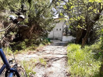
Hybrid bike
Walking
Walking
Mountain bike
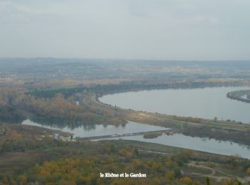
Walking
Walking
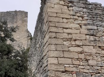
• COMPS - ABBAYE DE SAINT ROMAN 14.1Km - 04:30 Départ randonnée : Village de Comps (Gard 30) Abbaye de Saint Roman au d...
Walking
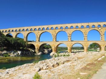
• COMPS - ABBAYE DE SAINT ROMAIN 2 9.5Km - 03:00 Départ randonnée : Village de Comps (Gard 30) De comps 30 à l'abbaye d...
Walking
• ce circuit nouds à conduit de comps à l'abbaye de saint romain en passant par la table d'orientation
Walking
• ce circuit nouds à conduit de comps à l'abbaye de saint romain en passant par la table d'orientation
Walking
Walking
Walking
Walking
Walking

 5.83
5.83
sport

Mountain bike
Walking
Walking
Walking
20 trails displayed on 22
FREE GPS app for hiking
 SityTrail
IGN / Geographical institutes
SityTrail World
The world is yours!