


7.9 km | 8.8 km-effort
Saint-Jean-Pla-de-Corts: Discover the best trails: 3 hiking trails and 3 bike and mountain-bike routes. All these trails, routes and outdoor activities are available in our SityTrail applications for smartphones and tablets.
Walking


• 66 ST-JEAN-PLA-DE-CORTS, domaine ALQUIER, itinéraire cycliste et pédestre vers Le BOULOU, pont sur l'A9, Hortes del B...
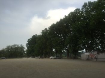
Walking
Walking
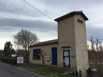
Mountain bike

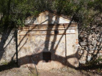
Mountain bike
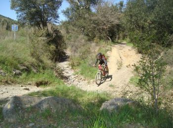
Mountain bike
6 trails displayed on 6
FREE GPS app for hiking
 SityTrail
IGN / Geographical institutes
SityTrail World
The world is yours!