Montescot, Pyrénées-Orientales: Best trails, routes and walks

2 comments

Montescot: Discover the best trails: 7 hiking trails. All these trails, routes and outdoor activities are available in our SityTrail applications for smartphones and tablets.


The best trails (8)
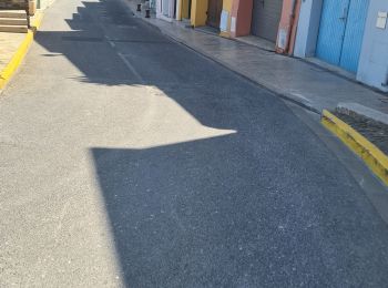
Trail Quad Montescot -  Villeneuve-de-la-Raho-Collioure (Septembre/Juin) - Photo
Quad 33.292
Km

Quad

Medium
(1)
Montescot, Occitania, Pyrénées-Orientales, France
33 km | 40 km-effort
1h 45min
504 m
509 m
No
Quad Ride

Trail Walking Montescot - 66 VILLENEUVE-DE-LA-RAHO grand tour du lac en Sens horaire  - Photo
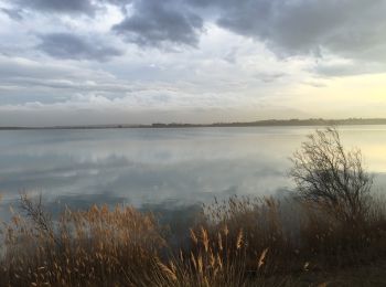
Walking 6.735
Km

Walking

Easy
(1)
Montescot, Occitania, Pyrénées-Orientales, France
6.7 km | 7.5 km-effort
1h 4min
60 m
60 m
Yes
jeff66

• 66 VILLENEUVE-DE-LA-RAHO grand tour du lac en Sens horaire

Trail Walking Montescot - 66 VILLENEUVE-DE-LA-RAHO grand tour du lac en Sens horaire  - Photo
Walking 6.735
Km

Walking

Easy
Montescot, Occitania, Pyrénées-Orientales, France
6.7 km | 7.5 km-effort
1h 4min
60 m
60 m
Yes
jeff66

• 66 VILLENEUVE-DE-LA-RAHO grand tour du lac en Sens horaire

Trail Walking Montescot - 66 MONTESCOT - ELNE - promenade entre Prairies du Vercol et vignobles des contreforts des Aspres - Photo
Walking 10.274
Km

Walking

Medium
Montescot, Occitania, Pyrénées-Orientales, France
10.3 km | 11.4 km-effort
1h 41min
84 m
84 m
Yes
jeff66

Trail Walking Montescot - pour l église de montescot - Photo
Walking 0.175
Km

Walking

Easy
Montescot, Occitania, Pyrénées-Orientales, France
175 m | 194 m-effort
3min
2 m
0 m
No
66Gribouille83

Trail Walking Montescot - la raho - Photo
Walking 6.78
Km

Walking

Very easy
Montescot, Occitania, Pyrénées-Orientales, France
6.8 km | 7.5 km-effort
1h 26min
54 m
54 m
Yes
Domdomii

• tour du plan d'eau de Villeneuve de la Raho

Trail Walking Montescot - Montescot - Photo
Walking 7.259
Km

Walking

Easy
Montescot, Occitania, Pyrénées-Orientales, France
7.3 km | 0 m-effort
2h 4min
0 m
0 m
Yes
Jocelyne LIGER

Trail Walking Montescot - Monteslac - Photo
Walking 12.752
Km

Walking

Easy
Montescot, Occitania, Pyrénées-Orientales, France
12.8 km | 13.8 km-effort
2h 49min
76 m
75 m
Yes
claudepetit

8 trails displayed on 8

FREE GPS app for hiking

Logo SityTrail SityTrail

IGN / Geographical institutes

Download SityTrail from the App Store Download SityTrail from Google Play

Logo SityTrail SityTrail World

The world is yours!

Download SityTrail from the App Store Download SityTrail from Google Play Download SityTrail on Huawei AppGallery

Activities

Close
My subscriptions