


10.8 km | 19.6 km-effort
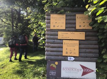
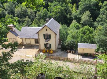
Planès: Discover the best trails: 36 hiking trails. All these trails, routes and outdoor activities are available in our SityTrail applications for smartphones and tablets.
Walking


• montée raide en foret.Aller retour vers l'étang facile et joli. retour agréable en foret
Walking
Walking

Walking
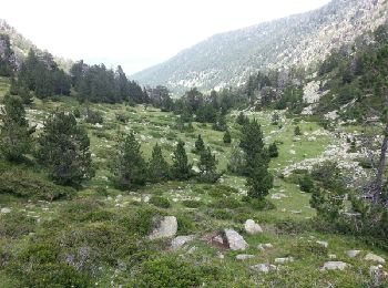
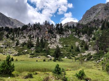
• Départ de Planès. monter jusqu à l.orri puis continuer vers l étang puis monter jusqu'à la Conca. très belle rando

Walking
• Départ de Planès. monter jusqu à l.orri puis continuer vers l étang puis monter jusqu'à la Conca. très belle rando
Walking
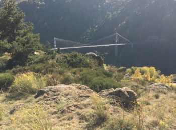
• En passant par Mont-Louis
Walking
Walking

Walking
Walking
Walking
Walking
• Départ de Planès les cascarols très jolie boucle
Walking
Walking
Walking
Walking
Walking
Walking
Walking
Walking
20 trails displayed on 36
FREE GPS app for hiking
 SityTrail
IGN / Geographical institutes
SityTrail World
The world is yours!