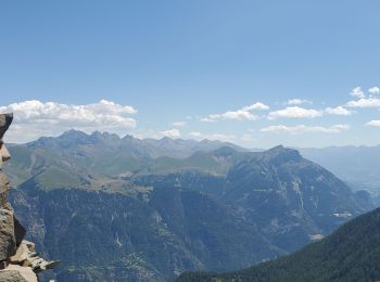
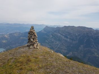
Saint-Vincent-les-Forts, Ubaye-Serre-Ponçon: Best trails, routes and walks

2 comments

Saint-Vincent-les-Forts: Discover the best trails: 11 hiking trails. All these trails, routes and outdoor activities are available in our SityTrail applications for smartphones and tablets.


The best trails (11)
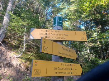
Trail Walking Ubaye-Serre-Ponçon - S VINCENT LES FORTS . CANAL DE LA PISSE . FONTAINE DE LANE . FONTAINE DU LOIUP . O L S. NZ . - Photo
Walking 8.52
Km

Walking

Medium
Ubaye-Serre-Ponçon, Provence-Alpes-Côte d'Azur, Alpes-de-Haute-Provence, France
8.5 km | 13.9 km-effort
2h 46min
404 m
402 m
Yes
RobinMicheline

Trail Walking Ubaye-Serre-Ponçon - St Vincent les forts montagnette  - Photo
Walking 13.656
Km
GUIDE

Walking

Difficult
Ubaye-Serre-Ponçon, Provence-Alpes-Côte d'Azur, Alpes-de-Haute-Provence, France
13.7 km | 27 km-effort
8h 17min
978 m
975 m
Yes
Danielba

Trail Walking Ubaye-Serre-Ponçon - Bivouac Dormillouse - Photo
Walking 16.9
Km
GUIDE

Walking

Very difficult
Ubaye-Serre-Ponçon, Provence-Alpes-Côte d'Azur, Alpes-de-Haute-Provence, France
16.9 km | 36 km-effort
7h 5min
1408 m
1407 m
Yes
David25400

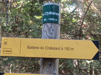
Trail Walking Ubaye-Serre-Ponçon - Batterie du Chatelard - Photo
Walking 2.04
Km

Walking

Easy
(1)
Ubaye-Serre-Ponçon, Provence-Alpes-Côte d'Azur, Alpes-de-Haute-Provence, France
2 km | 3 km-effort
1h 0min
74 m
76 m
Yes
saintherant

• Distance : 2 kms Dénivelé : 100 m Temps : 1 h 00 Au départ du Clot du Dou, cette randonnée s’adresse à tous les p...
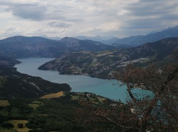
Trail Walking Ubaye-Serre-Ponçon - Le canal de pisse fort vauban - Photo
Walking 9.856
Km

Walking

Very easy
Ubaye-Serre-Ponçon, Provence-Alpes-Côte d'Azur, Alpes-de-Haute-Provence, France
9.9 km | 13.9 km-effort
3h 0min
301 m
315 m
No
Vero7684

Trail Walking Ubaye-Serre-Ponçon - S VINCENT LES FORTS . LES BATTERIES.  O L S  - Photo
Walking 2.618
Km

Walking

Easy
Ubaye-Serre-Ponçon, Provence-Alpes-Côte d'Azur, Alpes-de-Haute-Provence, France
2.6 km | 3.8 km-effort
49min
88 m
88 m
Yes
RobinMicheline

Trail Walking Ubaye-Serre-Ponçon - Le Rocher du Joug - Photo
Walking 7.165
Km

Walking

Medium
Ubaye-Serre-Ponçon, Provence-Alpes-Côte d'Azur, Alpes-de-Haute-Provence, France
7.2 km | 12.2 km-effort
2h 30min
379 m
379 m
Yes
saintherant

• Distance : 7.3 kms Dénivelé : 550 m Temps : 3 h 00 Au départ du Clot du Dou, cette randonnée s’adresse aux marche...

Trail Walking Ubaye-Serre-Ponçon - Les Sources de la PIsse - Photo
Walking 5.016
Km

Walking

Difficult
(1)
Ubaye-Serre-Ponçon, Provence-Alpes-Côte d'Azur, Alpes-de-Haute-Provence, France
5 km | 10.8 km-effort
3h 20min
431 m
431 m
Yes
saintherant

• Variante du Canal de la Pisse ou du Rocher du Joug (départ Canal ou Pre Balou)Cette variante permettra de monter jus...

Trail Walking Ubaye-Serre-Ponçon - Saint Vincent les forts - Photo
Walking 8.728
Km

Walking

Easy
Ubaye-Serre-Ponçon, Provence-Alpes-Côte d'Azur, Alpes-de-Haute-Provence, France
8.7 km | 12.4 km-effort
4h 7min
263 m
303 m
No
bvexin

Trail Walking Ubaye-Serre-Ponçon - La Montagnette - Photo
Walking 11.984
Km

Walking

Difficult
Ubaye-Serre-Ponçon, Provence-Alpes-Côte d'Azur, Alpes-de-Haute-Provence, France
12 km | 25 km-effort
5h 54min
969 m
985 m
No
rabault

Trail Walking Ubaye-Serre-Ponçon - Dormillouse direct Pré la Pierre - Photo
Walking 7.802
Km

Walking

Difficult
Ubaye-Serre-Ponçon, Provence-Alpes-Côte d'Azur, Alpes-de-Haute-Provence, France
7.8 km | 22 km-effort
Unknown
1082 m
1080 m
Yes
saintherant

11 trails displayed on 11

FREE GPS app for hiking

Logo SityTrail SityTrail

IGN / Geographical institutes

Download SityTrail from the App Store Download SityTrail from Google Play

Logo SityTrail SityTrail World

The world is yours!

Download SityTrail from the App Store Download SityTrail from Google Play Download SityTrail on Huawei AppGallery

Activities

Close
My subscriptions