


4 km | 6.9 km-effort
Furmeyer: Discover the best trails: 54 hiking trails and 33 bike and mountain-bike routes. All these trails, routes and outdoor activities are available in our SityTrail applications for smartphones and tablets.
Walking


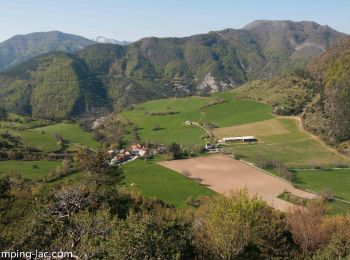
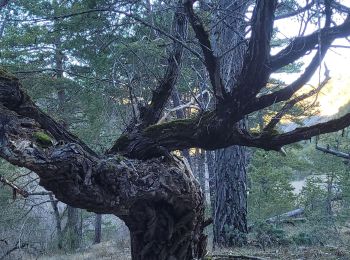
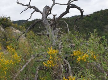
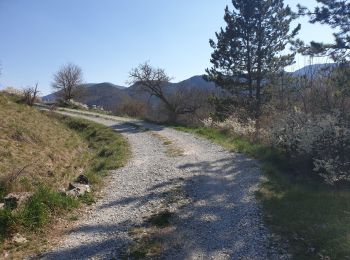
• Family hike. It is best to do it starting towards the Northwest for more shaded rise. Remarkable contrast between the...

Walking

Walking
Walking
Walking
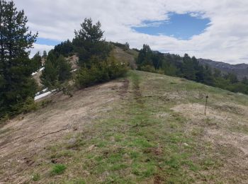
• Family hike. It is best to do it starting towards the Northwest for more shaded rise. Remarkable contrast between the...
Walking
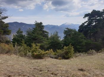
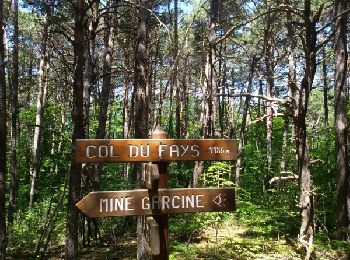
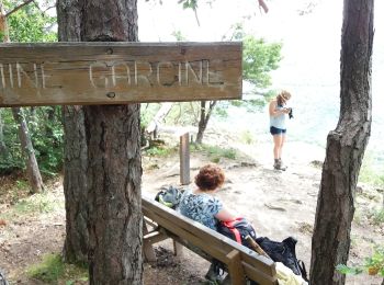
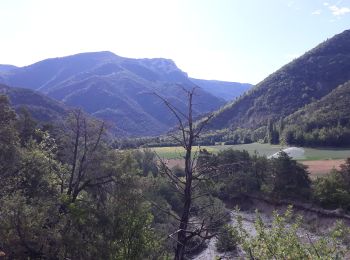
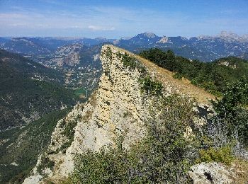
• Très belle hêtraie sous le col de Fay. Panorama superbe sur le Veynois à Mine Garcine.
Walking
Walking
Walking
Walking
Walking
Walking
Walking
Walking
Walking
Walking
Walking
Walking
Walking
Walking
20 trails displayed on 89
FREE GPS app for hiking
 SityTrail
IGN / Geographical institutes
SityTrail World
The world is yours!