Saint-Disdier, Le Dévoluy: Best trails, routes and walks

2 comments

Saint-Disdier: Discover the best trails: 43 hiking trails. All these trails, routes and outdoor activities are available in our SityTrail applications for smartphones and tablets.


The best trails (63)
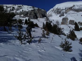
Trail Touring skiing Le Dévoluy - col sou la tête d'oriol et crête de la clape - Photo
Touring skiing 14.643
Km
GUIDE

Touring skiing

Medium
Le Dévoluy, Provence-Alpes-Côte d'Azur, Hautes-Alpes, France
14.6 km | 31 km-effort
6h 9min
1238 m
1239 m
Yes
nadd73

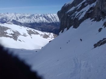
Trail Touring skiing Le Dévoluy - Le Nid - Photo
Touring skiing 15.791
Km
GUIDE

Touring skiing

Difficult
Le Dévoluy, Provence-Alpes-Côte d'Azur, Hautes-Alpes, France
15.8 km | 34 km-effort
8h 0min
1351 m
1349 m
Yes
nadd73

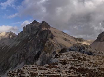
Trail Touring skiing Le Dévoluy - le pas de la cloche. - Photo
Touring skiing 7.063
Km
GUIDE

Touring skiing

Difficult
Le Dévoluy, Provence-Alpes-Côte d'Azur, Hautes-Alpes, France
7.1 km | 19.2 km-effort
6h 15min
984 m
695 m
No
nadd73

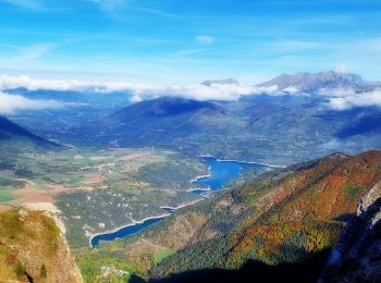
Trail Walking Le Dévoluy - Col de Drouillet - Photo
Walking 16.457
Km

Walking

Difficult
Le Dévoluy, Provence-Alpes-Côte d'Azur, Hautes-Alpes, France
16.5 km | 31 km-effort
7h 49min
1103 m
1103 m
Yes
flip38

Trail Walking Le Dévoluy - Pic Perrioux Via le Collet (St Disdier) - Photo
Walking 11.144
Km

Walking

Very difficult
Le Dévoluy, Provence-Alpes-Côte d'Azur, Hautes-Alpes, France
11.1 km | 25 km-effort
6h 39min
1035 m
1036 m
Yes
PapouBertrand

Trail Walking Le Dévoluy - Tête de l'Aupet.  - Photo
Walking 11.925
Km

Walking

Difficult
Le Dévoluy, Provence-Alpes-Côte d'Azur, Hautes-Alpes, France
11.9 km | 30 km-effort
3h 49min
1403 m
1257 m
No
Dervalmarc

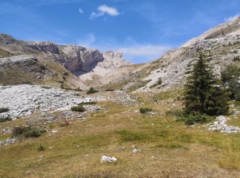
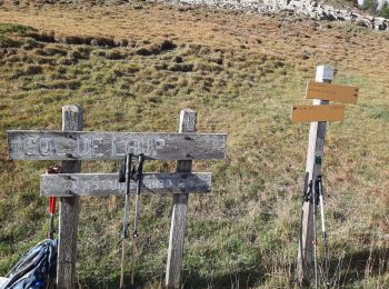
Trail Walking Le Dévoluy - R22   Le Col de Laup - Photo
Walking 8.04
Km
GUIDE+

Walking

Very easy
Le Dévoluy, Provence-Alpes-Côte d'Azur, Hautes-Alpes, France
8 km | 14.3 km-effort
2h 56min
473 m
473 m
Yes
Camping Les Rives du Lac

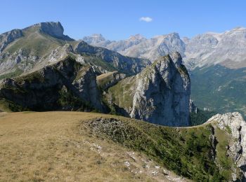
• Easy hiking, very wild (incomparable flora), which offers a magnificent panorama of the Dévoluy massif. The view from...
Trail Walking Le Dévoluy - circuit de Pierre Baudinard - Photo
Walking 8.932
Km

Walking

Medium
Le Dévoluy, Provence-Alpes-Côte d'Azur, Hautes-Alpes, France
8.9 km | 14.8 km-effort
2h 39min
439 m
441 m
Yes
Dervalmarc

• randonnée hivernale pouvant ce faire en raquettes
Trail Walking Le Dévoluy - Baudinard et Faï - Photo
Walking 9.011
Km

Walking

Le Dévoluy, Provence-Alpes-Côte d'Azur, Hautes-Alpes, France
9 km | 14.8 km-effort
2h 51min
431 m
433 m
Yes
JP7755

Trail Walking Le Dévoluy - pic pierroux - Photo
Walking 11.45
Km

Walking

Difficult
Le Dévoluy, Provence-Alpes-Côte d'Azur, Hautes-Alpes, France
11.4 km | 26 km-effort
6h 8min
1060 m
1059 m
Yes
gibello

Trail Touring skiing Le Dévoluy - Vallons du Mas - Photo
Touring skiing 15.215
Km

Touring skiing

Medium
Le Dévoluy, Provence-Alpes-Côte d'Azur, Hautes-Alpes, France
15.2 km | 34 km-effort
8h 45min
1424 m
1222 m
No
doumeherve

Trail Walking Le Dévoluy - famille Baudinard  - Photo
Walking 8.375
Km

Walking

Very easy
Le Dévoluy, Provence-Alpes-Côte d'Azur, Hautes-Alpes, France
8.4 km | 14.2 km-effort
2h 35min
440 m
440 m
Yes
JP7755

Trail Touring skiing Le Dévoluy - Crête de l'étoile - Photo
Touring skiing 9.035
Km

Touring skiing

Easy
Le Dévoluy, Provence-Alpes-Côte d'Azur, Hautes-Alpes, France
9 km | 23 km-effort
3h 20min
1046 m
1048 m
Yes
Gouze13

Trail Walking Le Dévoluy - Tête de L'Aupet par le vallon du Mas - Photo
Walking 13.551
Km

Walking

Difficult
Le Dévoluy, Provence-Alpes-Côte d'Azur, Hautes-Alpes, France
13.6 km | 33 km-effort
6h 23min
1456 m
1455 m
Yes
GAPIAN43

Trail Walking Le Dévoluy - 2-F - Photo
Walking 11.13
Km

Walking

Very difficult
Le Dévoluy, Provence-Alpes-Côte d'Azur, Hautes-Alpes, France
11.1 km | 28 km-effort
5h 11min
1228 m
1228 m
Yes
GAPIAN43

Trail Touring skiing Le Dévoluy - Tête d'Oriol à Ski - Photo
Touring skiing 4.228
Km

Touring skiing

Difficult
Le Dévoluy, Provence-Alpes-Côte d'Azur, Hautes-Alpes, France
4.2 km | 15.2 km-effort
4h 0min
1098 m
0 m
No
Gouze13

Trail Walking Le Dévoluy - Le baudinard - Photo
Walking 9.111
Km

Walking

Easy
Le Dévoluy, Provence-Alpes-Côte d'Azur, Hautes-Alpes, France
9.1 km | 16.2 km-effort
5h 13min
531 m
524 m
Yes
joesic

Trail Walking Le Dévoluy - Pierre baudinard depuis billard joly - Photo
Walking 8.54
Km

Walking

Difficult
(1)
Le Dévoluy, Provence-Alpes-Côte d'Azur, Hautes-Alpes, France
8.5 km | 14.8 km-effort
3h 22min
471 m
474 m
Yes
poupat

Trail Snowshoes Le Dévoluy - mercredi - Photo
Snowshoes 7.85
Km

Snowshoes

Very easy
Le Dévoluy, Provence-Alpes-Côte d'Azur, Hautes-Alpes, France
7.8 km | 12.1 km-effort
6h 3min
311 m
335 m
Yes
phidge

Trail Touring skiing Le Dévoluy - Tête de l'Aupet à ski - Photo
Touring skiing 11.106
Km

Touring skiing

Difficult
Le Dévoluy, Provence-Alpes-Côte d'Azur, Hautes-Alpes, France
11.1 km | 27 km-effort
6h 0min
1208 m
1211 m
Yes
Gouze13

20 trails displayed on 63

FREE GPS app for hiking

Logo SityTrail SityTrail

IGN / Geographical institutes

Download SityTrail from the App Store Download SityTrail from Google Play

Logo SityTrail SityTrail World

The world is yours!

Download SityTrail from the App Store Download SityTrail from Google Play Download SityTrail on Huawei AppGallery

Activities

Close
My subscriptions