Saint-Étienne-en-Dévoluy, Le Dévoluy: Best trails, routes and walks

10 comments

Saint-Étienne-en-Dévoluy: Discover the best trails: 115 hiking trails, 11 bike and mountain-bike routes and 1 equestrian circuits. All these trails, routes and outdoor activities are available in our SityTrail applications for smartphones and tablets.


The best trails (164)
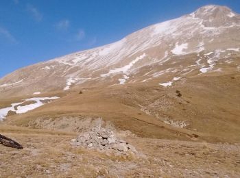
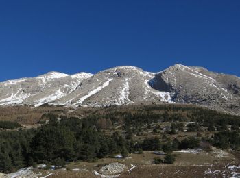
Trail Walking Le Dévoluy - R28   Le Col de Rabou - Photo
Walking 10.601
Km
GUIDE+

Walking

Medium
(1)
Le Dévoluy, Provence-Alpes-Côte d'Azur, Hautes-Alpes, France
10.6 km | 17.9 km-effort
3h 52min
548 m
547 m
Yes
Camping Les Rives du Lac

• A nice hike which provides views on the valley. Be quiet and look around, bighorn sheeps are never far in this area !
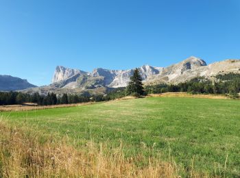
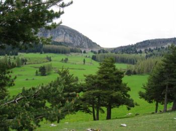
Trail Walking Le Dévoluy - R27   Les gorges du Rif - Photo
Walking 7.504
Km
GUIDE+

Walking

Easy
(1)
Le Dévoluy, Provence-Alpes-Côte d'Azur, Hautes-Alpes, France
7.5 km | 11.5 km-effort
2h 27min
302 m
302 m
Yes
Camping Les Rives du Lac

• Easy hike through the beautiful Rif Gorges. This hike can be lengthened by following the road of the Col du Noyer and...
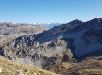
Trail Walking Le Dévoluy - Tour du Dévoluy - Superdévoluy à Lachaup - Photo
Walking 8.321
Km

Walking

Medium
(1)
Le Dévoluy, Provence-Alpes-Côte d'Azur, Hautes-Alpes, France
8.3 km | 12.5 km-effort
3h 0min
289 m
391 m
No
tracegps

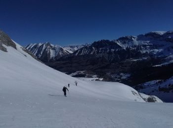
Trail Touring skiing Le Dévoluy - Pied gros de St Etienne, pt 2109 la Corne - Photo
Touring skiing 12.115
Km
GUIDE

Touring skiing

Medium
Le Dévoluy, Provence-Alpes-Côte d'Azur, Hautes-Alpes, France
12.1 km | 29 km-effort
7h 0min
1251 m
1252 m
Yes
nadd73

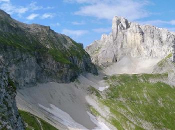
Trail Mountain bike Le Dévoluy - VTT31 - Col de Rabou - Photo
Mountain bike 19.689
Km
GUIDE+

Mountain bike

Medium
Le Dévoluy, Provence-Alpes-Côte d'Azur, Hautes-Alpes, France
19.7 km | 31 km-effort
1h 55min
826 m
826 m
Yes
Camping Les Rives du Lac

• A beautiful long hike but little technical, except on the lower part (which can be avoided by going directly from Sup...
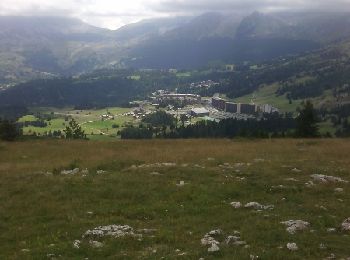
Trail Walking Le Dévoluy - R26   Le tour de la crête d'âne - Photo
Walking 10.471
Km
GUIDE+

Walking

Medium
Le Dévoluy, Provence-Alpes-Côte d'Azur, Hautes-Alpes, France
10.5 km | 19.7 km-effort
3h 58min
690 m
696 m
Yes
Camping Les Rives du Lac

• Een gevarieerde wandeling door de ongerepte natuur: u wandelt door prachtige beukenbossen en vervolgens langs indrukw...
Trail Walking Le Dévoluy - crête des baumes - Photo
Walking 9.356
Km

Walking

Easy
(1)
Le Dévoluy, Provence-Alpes-Côte d'Azur, Hautes-Alpes, France
9.4 km | 14.1 km-effort
3h 11min
356 m
349 m
Yes
timothee60

Trail Walking Le Dévoluy - Plateau et Pic de Bure par Combe ratin - Photo
Walking 21.101
Km

Walking

Very difficult
Le Dévoluy, Provence-Alpes-Côte d'Azur, Hautes-Alpes, France
21 km | 40 km-effort
9h 9min
1440 m
1440 m
Yes
GrouGary

Trail Walking Le Dévoluy - SityTrail - Vallon Froid - Costebelle - Photo
Walking 10.539
Km

Walking

Difficult
Le Dévoluy, Provence-Alpes-Côte d'Azur, Hautes-Alpes, France
10.5 km | 24 km-effort
4h 21min
975 m
971 m
Yes
GAPIAN43

Trail Walking Le Dévoluy - Sommet de Raz de Bec. 21/09/18 - Photo
Walking 11.939
Km

Walking

Difficult
Le Dévoluy, Provence-Alpes-Côte d'Azur, Hautes-Alpes, France
11.9 km | 23 km-effort
5h 25min
827 m
828 m
Yes
Dervalmarc

Trail Walking Le Dévoluy - crête des baume - Photo
Walking 12.041
Km

Walking

Medium
Le Dévoluy, Provence-Alpes-Côte d'Azur, Hautes-Alpes, France
12 km | 19.1 km-effort
4h 25min
533 m
529 m
No
boulinevelyne

• descente délicate au collet du tat pour les personnes pas à l aise dans une pente. départ pont du pré à l office du t...
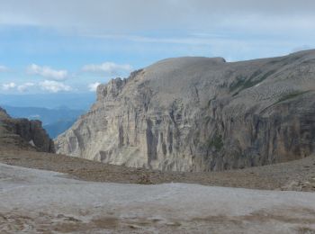
Trail Walking Le Dévoluy - Pic de Bure par combe Ratin - Photo
Walking 13.729
Km
GUIDE

Walking

Very difficult
Le Dévoluy, Provence-Alpes-Côte d'Azur, Hautes-Alpes, France
13.7 km | 29 km-effort
5h 43min
1180 m
1164 m
Yes
R@ph

Trail Walking Le Dévoluy - Crete des Baumes - Photo
Walking 6.596
Km

Walking

Easy
Le Dévoluy, Provence-Alpes-Côte d'Azur, Hautes-Alpes, France
6.6 km | 9.6 km-effort
2h 48min
224 m
223 m
Yes
marmotte83

• Boucle sur la crête des Baumes. Départ de la balade se fait à coté du centre équestre. Prendre le sentier et suivre l...
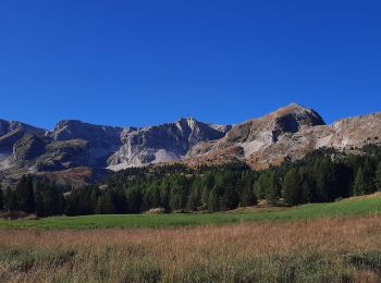
Trail Walking Le Dévoluy - Vallons de la Corne et d'Ane  - Photo
Walking 13.415
Km

Walking

Very difficult
Le Dévoluy, Provence-Alpes-Côte d'Azur, Hautes-Alpes, France
13.4 km | 24 km-effort
6h 39min
795 m
796 m
Yes
GuyVachet

Trail Walking Le Dévoluy - Autour de SuperDevoluy - Photo
Walking 10.58
Km

Walking

Easy
Le Dévoluy, Provence-Alpes-Côte d'Azur, Hautes-Alpes, France
10.6 km | 17.9 km-effort
3h 16min
551 m
552 m
Yes
GrouGary

Trail Touring skiing Le Dévoluy - col Dévoluy - Photo
Touring skiing 14.266
Km

Touring skiing

Easy
Le Dévoluy, Provence-Alpes-Côte d'Azur, Hautes-Alpes, France
14.3 km | 24 km-effort
1h 51min
680 m
973 m
No
doumeherve

Trail Walking Le Dévoluy - la corne devoluy - Photo
Walking 5.221
Km

Walking

Difficult
Le Dévoluy, Provence-Alpes-Côte d'Azur, Hautes-Alpes, France
5.2 km | 12.6 km-effort
3h 19min
553 m
550 m
Yes
baruc

Trail Touring skiing Le Dévoluy - Le Chaumet depart Superdevoluy  400 + - Photo
Touring skiing 5.34
Km

Touring skiing

Easy
Le Dévoluy, Provence-Alpes-Côte d'Azur, Hautes-Alpes, France
5.3 km | 10.8 km-effort
2h 37min
408 m
408 m
Yes
claude nier

Trail Walking Le Dévoluy - Raz de Bec - Photo
Walking 11.531
Km

Walking

Very difficult
Le Dévoluy, Provence-Alpes-Côte d'Azur, Hautes-Alpes, France
11.5 km | 22 km-effort
4h 29min
821 m
820 m
Yes
Gouze13

Trail Touring skiing Le Dévoluy - Pré de Chambenne et combe de Loupon - Photo
Touring skiing 10.749
Km

Touring skiing

Medium
Le Dévoluy, Provence-Alpes-Côte d'Azur, Hautes-Alpes, France
10.7 km | 23 km-effort
4h 0min
933 m
931 m
Yes
Gouze13

20 trails displayed on 164

FREE GPS app for hiking

Logo SityTrail SityTrail

IGN / Geographical institutes

Download SityTrail from the App Store Download SityTrail from Google Play

Logo SityTrail SityTrail World

The world is yours!

Download SityTrail from the App Store Download SityTrail from Google Play Download SityTrail on Huawei AppGallery

Activities

Close
My subscriptions