


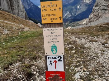
9.6 km | 17.9 km-effort
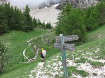
La Cluse: Discover the best trails: 29 hiking trails and 2 bike and mountain-bike routes. All these trails, routes and outdoor activities are available in our SityTrail applications for smartphones and tablets.
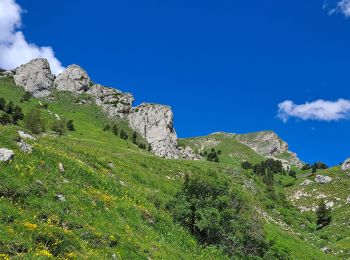
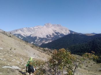
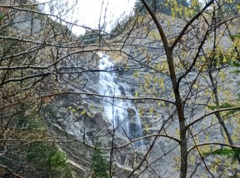
Walking


Walking
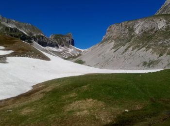
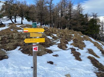
Touring skiing
Touring skiing
Walking
Walking
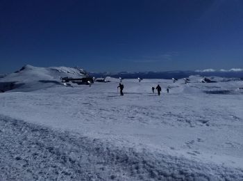
Touring skiing
Walking
Walking
• village de Rabioux au village Les Sauvas par la fontaine du Vallon (cirque de Bure 1820m). Ilot de mélèzes au milieu ...
Walking

Walking

Snowshoes
Walking
Walking
• Descente depuis Le Chauvet via le Collet
Walking
• difficile
Walking

Nordic walking
Walking
Walking
Walking
20 trails displayed on 43
FREE GPS app for hiking
 SityTrail
IGN / Geographical institutes
SityTrail World
The world is yours!