


10.2 km | 19.2 km-effort
Agnières-en-Dévoluy: Discover the best trails: 85 hiking trails and 3 bike and mountain-bike routes. All these trails, routes and outdoor activities are available in our SityTrail applications for smartphones and tablets.
Walking


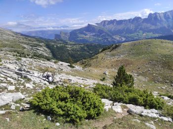
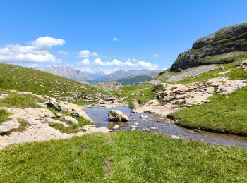
• A magnificent hike taking the GR94 from the Col du Festre, in a protected valley. Beautiful passage over the waterfal...
Walking
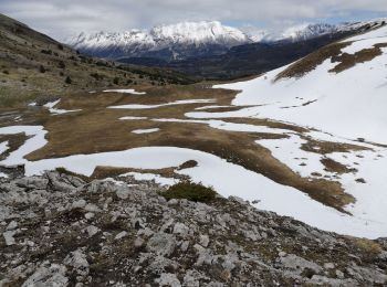
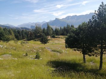
• "The Col du Festre is the boundary between Buëch and Dévoluy and a major climate barrier between southern Alps and n...
Walking
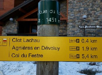
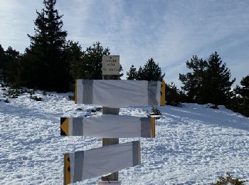
• Boucle depuis le col de Festre. Montée dans les alpages, progression très facile. Cette balade empreinte un sentier P...
Walking
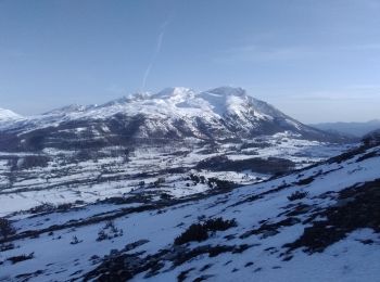
Touring skiing
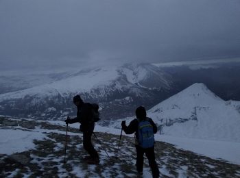
Touring skiing
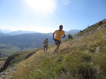
Running
Walking
Walking
Walking
Walking
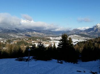
• Petite randonnée sympa vers le Col du Festre avec vue sur Agnières et la montagne du Vallon.
Walking
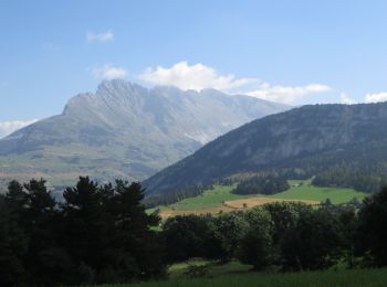
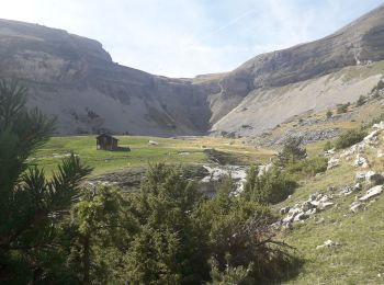
• Un très beau parcours par la Bergerie des Chaumates vers le Col du Tât. Magnifique point de vue sur l'Obiou et la Jou...
Walking
• Au départ du Front de neige un très beau parcours hivernal sur les hauteurs de la Joue (raquettes/ crampons l'hiver).
Walking
• Agréable rando par les Chaumates et le col du Tât jusque Super Dévoluy ( raquettes / crampons nécessaires )
Mountain bike
• Circuit quite long but not difficult. Pretty landscapes on the Dévoluy plateau. Follow the circuit 5 of "L'Espace VTT...

Walking
Walking
Walking
Walking
Walking
20 trails displayed on 138
FREE GPS app for hiking
 SityTrail
IGN / Geographical institutes
SityTrail World
The world is yours!