Puy-Saint-Vincent, Hautes-Alpes: Best trails, routes and walks

11 comments

Puy-Saint-Vincent: Discover the best trails: 77 hiking trails and 14 bike and mountain-bike routes. All these trails, routes and outdoor activities are available in our SityTrail applications for smartphones and tablets.


The best trails (122)
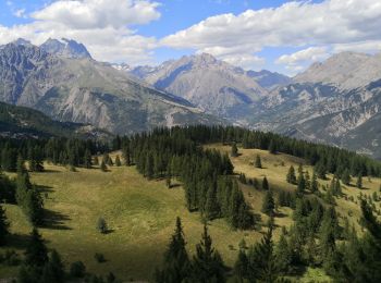
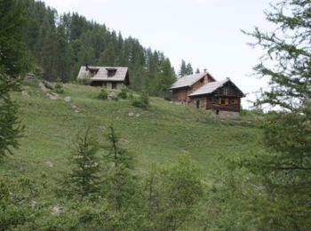
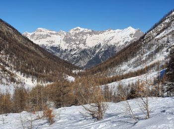
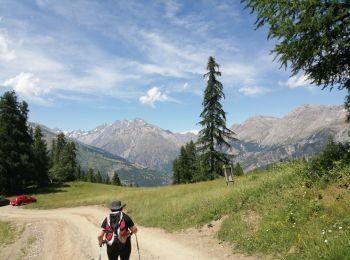
Trail Walking Puy-Saint-Vincent - La tête d'Oreac - Photo
Walking 6.045
Km

Walking

Easy
(2)
Puy-Saint-Vincent, Provence-Alpes-Côte d'Azur, Hautes-Alpes, France
6 km | 10.4 km-effort
3h 55min
325 m
325 m
Yes
Sigmut

Trail Walking Puy-Saint-Vincent - Cascades de Narreyroux - Puy Saint Vincent - Photo
Walking 11.41
Km

Walking

Difficult
(1)
Puy-Saint-Vincent, Provence-Alpes-Côte d'Azur, Hautes-Alpes, France
11.4 km | 19.2 km-effort
4h 0min
588 m
588 m
Yes
tracegps

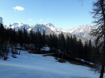
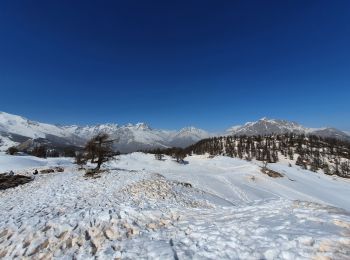
Trail Snowshoes Puy-Saint-Vincent - la tête d'Oréac - Photo
Snowshoes 6.383
Km
GUIDE

Snowshoes

Medium
Puy-Saint-Vincent, Provence-Alpes-Côte d'Azur, Hautes-Alpes, France
6.4 km | 11.4 km-effort
4h 7min
377 m
384 m
Yes
amiral13

Trail Walking Puy-Saint-Vincent - le lac des Hermes - Photo
Walking 4.288
Km
GUIDE

Walking

Easy
Puy-Saint-Vincent, Provence-Alpes-Côte d'Azur, Hautes-Alpes, France
4.3 km | 6.5 km-effort
3h 9min
165 m
182 m
Yes
amiral13

Trail Walking Puy-Saint-Vincent - Narreyroux au départ de PSV 1600 - Photo
Walking 4.592
Km
GUIDE

Walking

Very easy
Puy-Saint-Vincent, Provence-Alpes-Côte d'Azur, Hautes-Alpes, France
4.6 km | 6.3 km-effort
1h 49min
132 m
127 m
Yes
amiral13

Trail Walking Puy-Saint-Vincent - Boucle col de la Pousterle et tête d'Oréac - Photo
Walking 9.507
Km
GUIDE

Walking

Medium
Puy-Saint-Vincent, Provence-Alpes-Côte d'Azur, Hautes-Alpes, France
9.5 km | 15.5 km-effort
3h 9min
449 m
450 m
Yes
amiral13

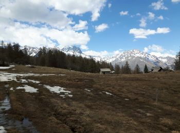
Trail Snowshoes Puy-Saint-Vincent - le vallon de Narreyroux - Photo
Snowshoes 8.443
Km
GUIDE

Snowshoes

Easy
Puy-Saint-Vincent, Provence-Alpes-Côte d'Azur, Hautes-Alpes, France
8.4 km | 12.9 km-effort
5h 3min
334 m
334 m
Yes
amiral13

Trail Snowshoes Puy-Saint-Vincent - les têtes - Photo
Snowshoes 11.414
Km
GUIDE

Snowshoes

Medium
Puy-Saint-Vincent, Provence-Alpes-Côte d'Azur, Hautes-Alpes, France
11.4 km | 18.4 km-effort
5h 17min
525 m
521 m
Yes
amiral13

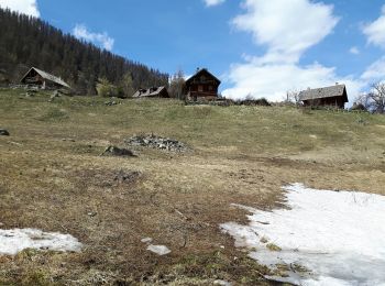
Trail Walking Puy-Saint-Vincent - Fête de l'alpage 9 août 2019  - Photo
Walking 5.877
Km

Walking

Very easy
Puy-Saint-Vincent, Provence-Alpes-Côte d'Azur, Hautes-Alpes, France
5.9 km | 8.2 km-effort
2h 18min
169 m
177 m
Yes
Sigmut

Trail Walking Puy-Saint-Vincent - Le Villaret La combe noire - Photo
Walking 7.101
Km

Walking

Very easy
Puy-Saint-Vincent, Provence-Alpes-Côte d'Azur, Hautes-Alpes, France
7.1 km | 9.5 km-effort
3h 8min
182 m
186 m
Yes
Sigmut

Trail Walking Puy-Saint-Vincent - cascades puy saint vincent - Photo
Walking 11.584
Km

Walking

Easy
Puy-Saint-Vincent, Provence-Alpes-Côte d'Azur, Hautes-Alpes, France
11.6 km | 19 km-effort
4h 24min
559 m
558 m
Yes
sergio19

Trail Walking Puy-Saint-Vincent - Psv 1800 vers les Tournoux et le lac des Charbonnières - Photo
Walking 13.2
Km

Walking

Difficult
Puy-Saint-Vincent, Provence-Alpes-Côte d'Azur, Hautes-Alpes, France
13.2 km | 17.9 km-effort
3h 48min
357 m
354 m
Yes
Reich

Trail Walking Puy-Saint-Vincent - Puy st Vincent - vallon de Narreyroux - Photo
Walking 10.516
Km

Walking

Medium
(1)
Puy-Saint-Vincent, Provence-Alpes-Côte d'Azur, Hautes-Alpes, France
10.5 km | 17.5 km-effort
3h 41min
526 m
526 m
Yes
mhetpierre

Trail Walking Puy-Saint-Vincent - Les Têtes - Puy Saint Vincent - Photo
Walking 12.312
Km

Walking

Medium
Puy-Saint-Vincent, Provence-Alpes-Côte d'Azur, Hautes-Alpes, France
12.3 km | 21 km-effort
4h 0min
643 m
642 m
Yes
tracegps

Trail Walking Puy-Saint-Vincent - tete - Photo
Walking 15.293
Km

Walking

Very easy
Puy-Saint-Vincent, Provence-Alpes-Côte d'Azur, Hautes-Alpes, France
15.3 km | 22 km-effort
4h 29min
508 m
556 m
No
Philou888

Trail Walking Puy-Saint-Vincent - puy saint vincent  - Photo
Walking 10.062
Km

Walking

Easy
Puy-Saint-Vincent, Provence-Alpes-Côte d'Azur, Hautes-Alpes, France
10.1 km | 16.5 km-effort
2h 50min
486 m
480 m
No
Philou888

Trail Walking Puy-Saint-Vincent - la pendine - Puy St. Vincent  - Photo
Walking 3.949
Km

Walking

Very easy
Puy-Saint-Vincent, Provence-Alpes-Côte d'Azur, Hautes-Alpes, France
3.9 km | 13.3 km-effort
Unknown
936 m
3 m
No
raffaure

Trail Snowshoes Puy-Saint-Vincent - les têtes 18 03 2021 - Photo
Snowshoes 9.558
Km

Snowshoes

Medium
Puy-Saint-Vincent, Provence-Alpes-Côte d'Azur, Hautes-Alpes, France
9.6 km | 16.4 km-effort
3h 19min
504 m
532 m
Yes
bymarc26

Trail Mountain bike Puy-Saint-Vincent - chapelle St Romain camping le couroumba  - Photo
Mountain bike 4.066
Km

Mountain bike

Very easy
Puy-Saint-Vincent, Provence-Alpes-Côte d'Azur, Hautes-Alpes, France
4.1 km | 5.3 km-effort
27min
20 m
302 m
No
ajpbm

Trail Walking Puy-Saint-Vincent - Les cascades - Photo
Walking 9.315
Km

Walking

Easy
Puy-Saint-Vincent, Provence-Alpes-Côte d'Azur, Hautes-Alpes, France
9.3 km | 14.8 km-effort
2h 22min
417 m
380 m
Yes
Reich

20 trails displayed on 122

FREE GPS app for hiking

Logo SityTrail SityTrail

IGN / Geographical institutes

Download SityTrail from the App Store Download SityTrail from Google Play

Logo SityTrail SityTrail World

The world is yours!

Download SityTrail from the App Store Download SityTrail from Google Play Download SityTrail on Huawei AppGallery

Activities

Close
My subscriptions