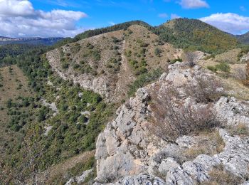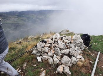
Vitrolles, Hautes-Alpes: Best trails, routes and walks
Vitrolles: Discover the best trails: 5 hiking trails. All these trails, routes and outdoor activities are available in our SityTrail applications for smartphones and tablets.
The best trails (5)

Km
#1 - Pic de Crigne


Walking
Medium
Vitrolles,
Provence-Alpes-Côte d'Azur,
Hautes-Alpes,
France

5.9 km | 14.3 km-effort
3h 14min

630 m

630 m
Yes
Marco05

Km
#2 - Pic de Crigne


Walking
Very difficult
Vitrolles,
Provence-Alpes-Côte d'Azur,
Hautes-Alpes,
France

11.6 km | 21 km-effort
5h 33min

718 m

769 m
No
PapouBertrand

Km
#3 - pic de Crigne


Walking
Medium
Vitrolles,
Provence-Alpes-Côte d'Azur,
Hautes-Alpes,
France

10.7 km | 20 km-effort
5h 30min

712 m

747 m
No
gibello

Km
#4 - CRIGNES (sans le pic)


Walking
Medium
Vitrolles,
Provence-Alpes-Côte d'Azur,
Hautes-Alpes,
France

18.4 km | 32 km-effort
7h 56min

1034 m

1034 m
Yes
FPOL04

Km
#5 - plan de Vitrolles


Walking
Very difficult
Vitrolles,
Provence-Alpes-Côte d'Azur,
Hautes-Alpes,
France

43 km | 50 km-effort
2h 51min

586 m

421 m
No
afab05
5 trails displayed on 5
FREE GPS app for hiking


 SityTrail


