


12 km | 23 km-effort
Réotier: Discover the best trails: 19 hiking trails and 1 bike and mountain-bike routes. All these trails, routes and outdoor activities are available in our SityTrail applications for smartphones and tablets.
Walking


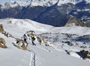
Touring skiing
Walking
Walking
Snowshoes

Touring skiing

 3.35
3.35
sport

Walking
Walking
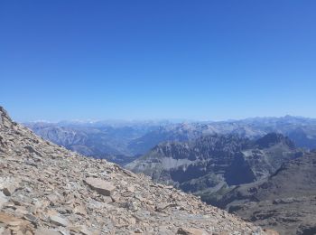
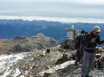
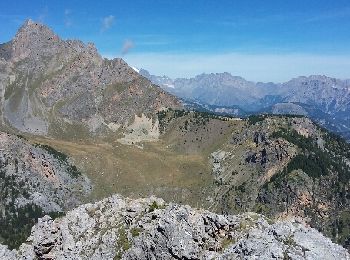
• Magnifique randonnée, point culminant 3200, avec vue sur le Mont Blanc, le parc des Ecrins et un panorama à 360°. En ...
Walking

On foot
Walking
Walking
Other activity
• ski de Randonnée
Walking
Other activity
Walking
12.855
sport
Walking
Walking
20 trails displayed on 31
FREE GPS app for hiking
 SityTrail
IGN / Geographical institutes
SityTrail World
The world is yours!