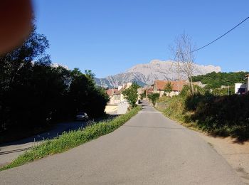
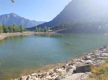
La Motte-en-Champsaur, Hautes-Alpes: Best trails, routes and walks

1 comments

La Motte-en-Champsaur: Discover the best trails: 24 hiking trails and 1 bike and mountain-bike routes. All these trails, routes and outdoor activities are available in our SityTrail applications for smartphones and tablets.


The best trails (27)
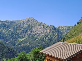
Trail Walking La Motte-en-Champsaur - Jas de Jartier - Photo
Walking 13.656
Km
GUIDE

Walking

Difficult
La Motte-en-Champsaur, Provence-Alpes-Côte d'Azur, Hautes-Alpes, France
13.7 km | 24 km-effort
5h 22min
747 m
749 m
Yes
Marco05

Trail Walking La Motte-en-Champsaur - 01-06-14 Chemin de Ronde de Molines - Photo
Walking 17.457
Km

Walking

Medium
La Motte-en-Champsaur, Provence-Alpes-Côte d'Azur, Hautes-Alpes, France
17.5 km | 31 km-effort
6h 22min
1005 m
1034 m
No
Dervalmarc

• Très belle rando. Longue avec passage exposé à l'hubac en début de saison à cause de névés persistants.
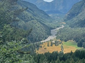
Trail Walking La Motte-en-Champsaur - 2023 Molines en champsaur - Photo
Walking 12.249
Km

Walking

Very difficult
La Motte-en-Champsaur, Provence-Alpes-Côte d'Azur, Hautes-Alpes, France
12.2 km | 19.3 km-effort
4h 0min
535 m
505 m
No
mimimartine

Trail Walking La Motte-en-Champsaur - La Motte le Col de la Blache  - Photo
Walking 12.847
Km

Walking

Medium
La Motte-en-Champsaur, Provence-Alpes-Côte d'Azur, Hautes-Alpes, France
12.8 km | 19.3 km-effort
4h 8min
487 m
483 m
Yes
sereton

Trail Walking La Motte-en-Champsaur - jas de jartier - Photo
Walking 12.838
Km

Walking

Medium
La Motte-en-Champsaur, Provence-Alpes-Côte d'Azur, Hautes-Alpes, France
12.8 km | 23 km-effort
5h 25min
787 m
788 m
Yes
gibello

Trail Walking La Motte-en-Champsaur - Jas de Jartier - Photo
Walking 13.619
Km

Walking

Very difficult
La Motte-en-Champsaur, Provence-Alpes-Côte d'Azur, Hautes-Alpes, France
13.6 km | 24 km-effort
5h 30min
796 m
796 m
Yes
PapouBertrand

Trail Walking La Motte-en-Champsaur - molines - Photo
Walking 12.038
Km

Walking

Very easy
La Motte-en-Champsaur, Provence-Alpes-Côte d'Azur, Hautes-Alpes, France
12 km | 0 m-effort
2h 14min
0 m
0 m
Yes
pistou

Trail Mountain bike La Motte-en-Champsaur - piste du roy - Photo
Mountain bike 8.012
Km

Mountain bike

Easy
La Motte-en-Champsaur, Provence-Alpes-Côte d'Azur, Hautes-Alpes, France
8 km | 10.4 km-effort
2h 22min
182 m
182 m
Yes
charlottedigne

Trail Walking La Motte-en-Champsaur - SityTrail - Pic de Larche Molines en Champsaur - Photo
Walking 10.37
Km

Walking

Difficult
La Motte-en-Champsaur, Provence-Alpes-Côte d'Azur, Hautes-Alpes, France
10.4 km | 29 km-effort
6h 29min
1374 m
1374 m
Yes
GAPIAN43

Trail Walking La Motte-en-Champsaur - Col de La Clapette - Photo
Walking 10.755
Km

Walking

Very difficult
La Motte-en-Champsaur, Provence-Alpes-Côte d'Azur, Hautes-Alpes, France
10.8 km | 25 km-effort
5h 44min
1086 m
1086 m
Yes
GAPIAN43

Trail Walking La Motte-en-Champsaur - Les Molines - LesBarangeards  - Photo
Walking 20.421
Km

Walking

Medium
La Motte-en-Champsaur, Provence-Alpes-Côte d'Azur, Hautes-Alpes, France
20 km | 26 km-effort
6h 0min
379 m
683 m
No
christop

Trail Walking La Motte-en-Champsaur - lac les costes - Photo
Walking 5.435
Km

Walking

Very easy
La Motte-en-Champsaur, Provence-Alpes-Côte d'Azur, Hautes-Alpes, France
5.4 km | 7.6 km-effort
1h 47min
159 m
171 m
No
pistou

Trail Walking La Motte-en-Champsaur - molines - Photo
Walking 7.076
Km

Walking

Very easy
La Motte-en-Champsaur, Provence-Alpes-Côte d'Azur, Hautes-Alpes, France
7.1 km | 9 km-effort
3h 3min
143 m
142 m
Yes
pistou

Trail Walking La Motte-en-Champsaur - Col de l'Ardouère - Monyaigu - Photo
Walking 12.533
Km

Walking

Very difficult
La Motte-en-Champsaur, Provence-Alpes-Côte d'Azur, Hautes-Alpes, France
12.5 km | 30 km-effort
6h 55min
1344 m
1344 m
Yes
GAPIAN43

Trail sport La Motte-en-Champsaur - La cascade - Photo
sport 5.137
Km

sport

Very easy
La Motte-en-Champsaur, Provence-Alpes-Côte d'Azur, Hautes-Alpes, France
5.1 km | 10.5 km-effort
Unknown
399 m
399 m
Yes
lviallet

Trail Walking La Motte-en-Champsaur - Moulines - Photo
Walking 6.914
Km

Walking

Easy
La Motte-en-Champsaur, Provence-Alpes-Côte d'Azur, Hautes-Alpes, France
6.9 km | 12.3 km-effort
2h 22min
413 m
386 m
No
Jeanjacquespenaud

Trail Walking La Motte-en-Champsaur - Motte en champsaur Col de la blache  - Photo
Walking 13.147
Km

Walking

Difficult
La Motte-en-Champsaur, Provence-Alpes-Côte d'Azur, Hautes-Alpes, France
13.1 km | 19.6 km-effort
4h 10min
485 m
484 m
Yes
nana1643

Trail Walking La Motte-en-Champsaur - chemin du Roy - Photo
Walking 11.599
Km

Walking

Difficult
La Motte-en-Champsaur, Provence-Alpes-Côte d'Azur, Hautes-Alpes, France
11.6 km | 17.6 km-effort
3h 6min
452 m
451 m
Yes
bernard 13

Trail On foot La Motte-en-Champsaur - Col de l'Ardouere - Photo
On foot 11.44
Km

On foot

Medium
La Motte-en-Champsaur, Provence-Alpes-Côte d'Azur, Hautes-Alpes, France
11.4 km | 26 km-effort
Unknown
1111 m
1113 m
Yes
ber.ranguis

Trail Walking La Motte-en-Champsaur - Banc du Peyron Trace Visu GPX - 2 - Photo
Walking 12.303
Km

Walking

Very difficult
La Motte-en-Champsaur, Provence-Alpes-Côte d'Azur, Hautes-Alpes, France
12.3 km | 34 km-effort
6h 24min
1602 m
1601 m
Yes
GAPIAN43

20 trails displayed on 27

FREE GPS app for hiking

Logo SityTrail SityTrail

IGN / Geographical institutes

Download SityTrail from the App Store Download SityTrail from Google Play

Logo SityTrail SityTrail World

The world is yours!

Download SityTrail from the App Store Download SityTrail from Google Play Download SityTrail on Huawei AppGallery

Activities

Close
My subscriptions