


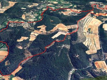
12.3 km | 16.5 km-effort
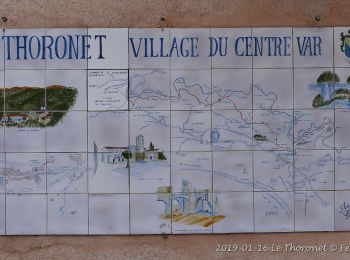
Le Thoronet: Discover the best trails: 49 hiking trails and 2 bike and mountain-bike routes. All these trails, routes and outdoor activities are available in our SityTrail applications for smartphones and tablets.

Walking


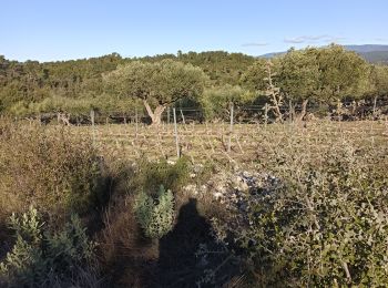
• bien

Walking
Walking

Walking

Walking

Nordic walking
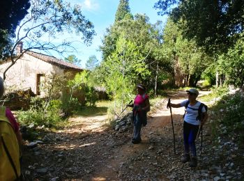
• Exécution du Topo Guide édité par la communauté de commune Coeur du Var.

Walking
• Rando du 08-04-15 de Restons en forme Draguignan. 26 randonneurs ( neuses ) pour cette magnifique journée sous le sol...

Walking
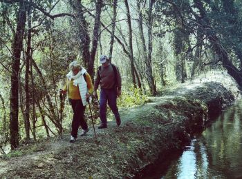
Walking
Walking

Walking
Walking

Walking
Walking

Walking
 19.247
sport
Walking
Walking

On foot
Walking
20 trails displayed on 56
FREE GPS app for hiking
 SityTrail
IGN / Geographical institutes
SityTrail World
The world is yours!