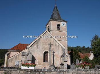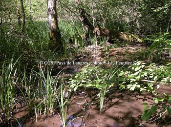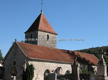
- Trails
- Outdoor
- France
- Grand Est
- Haute-Marne
- Villars-Santenoge
Villars-Santenoge, Haute-Marne: Best trails, routes and walks
Villars-Santenoge: Discover the best trails: 2 hiking trails, 2 bike and mountain-bike routes and 1 equestrian circuits. All these trails, routes and outdoor activities are available in our SityTrail applications for smartphones and tablets.
The best trails (5)

Km
#1 - Circuit de la Juchère


Mountain bike
Very difficult
Villars-Santenoge,
Grand Est,
Haute-Marne,
France

11.4 km | 14.5 km-effort
1h 30min

237 m

238 m
Yes
tracegps

Km
#2 - Circuit de la Juchère


Walking
Difficult
Villars-Santenoge,
Grand Est,
Haute-Marne,
France

11.4 km | 14.5 km-effort
2h 30min

237 m

238 m
Yes
tracegps

Km
#3 - L'Ource


Mountain bike
Very difficult
Villars-Santenoge,
Grand Est,
Haute-Marne,
France

13.4 km | 18 km-effort
1h 30min

343 m

345 m
Yes
tracegps

Km
#4 - L'Ource


Walking
Difficult
Villars-Santenoge,
Grand Est,
Haute-Marne,
France

13.4 km | 18 km-effort
3h 0min

343 m

345 m
Yes
tracegps

Km
#5 - 2024-05 Côte d or J3


Horseback riding
Difficult
Villars-Santenoge,
Grand Est,
Haute-Marne,
France

27 km | 33 km-effort
5h 31min

441 m

386 m
No
crumiere
5 trails displayed on 5
FREE GPS app for hiking


 SityTrail


