


33 km | 64 km-effort
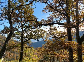
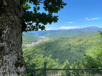
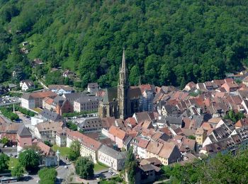
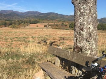
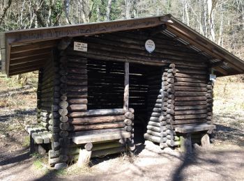
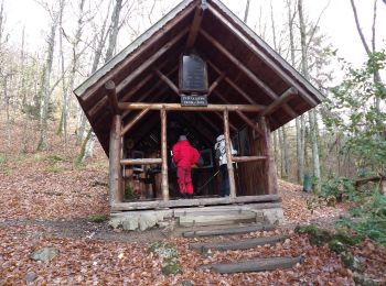
Steinbach: Discover the best trails: 57 hiking trails, 29 bike and mountain-bike routes and 1 equestrian circuits. All these trails, routes and outdoor activities are available in our SityTrail applications for smartphones and tablets.
Other activity


•
Walking
Walking
Walking
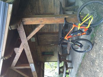
Mountain bike

Walking
Mountain bike
Walking
Mountain bike
Walking
Walking
Walking

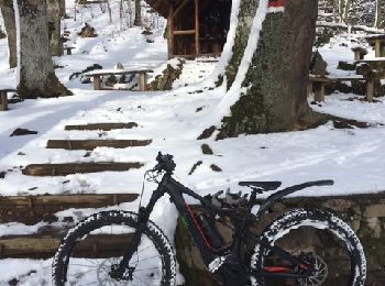
Electric bike
Walking

Mountain bike
Mountain bike
Mountain bike
• Belle ballade, montée moyenne mais constante, point dur la montée au Freundstein. De beaux points de vues
Walking
Mountain bike
• Belle montée
Walking
20 trails displayed on 91
FREE GPS app for hiking
 SityTrail
IGN / Geographical institutes
SityTrail World
The world is yours!