


9.1 km | 11.5 km-effort
Barberey-Saint-Sulpice: Discover the best trails: 19 hiking trails and 1 bike and mountain-bike routes. All these trails, routes and outdoor activities are available in our SityTrail applications for smartphones and tablets.

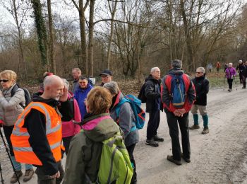
Walking


Walking
Walking
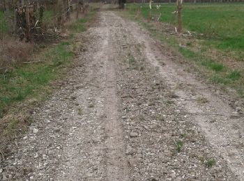
• Tout plat mais glissant et boueux
Walking
Walking
Walking

Hybrid bike
Walking
Walking
Walking
Walking

 67.712
sport
Walking

Nordic walking
Walking
Walking
Walking
Walking
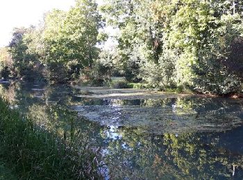
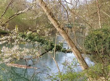
Canoe - kayak
Canoe - kayak
20 trails displayed on 24
FREE GPS app for hiking
 SityTrail
IGN / Geographical institutes
SityTrail World
The world is yours!