


8.2 km | 21 km-effort
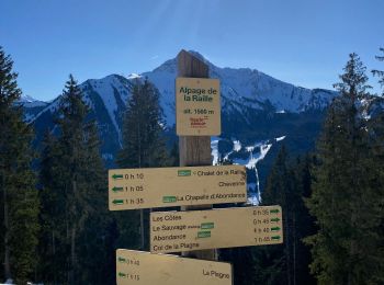
Abondance: Discover the best trails: 89 hiking trails and 9 bike and mountain-bike routes. All these trails, routes and outdoor activities are available in our SityTrail applications for smartphones and tablets.
Walking


Walking
Walking
On foot
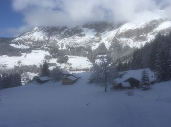
Snowshoes
• Cf Sentiers raquettes Vallée d'Abondance : Abondance Versant forestier
Walking
• Passages difficiles pdt 15 min
Walking
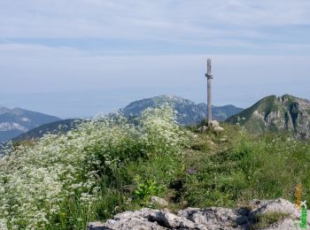
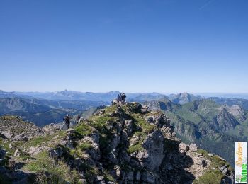
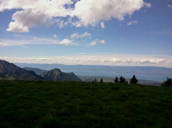
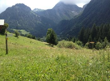
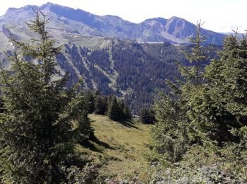
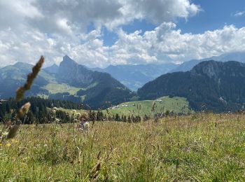
• Trés beau parcours avec vues à 360 degrés sur les Alpes Suisses et Françaises , aussi sur la vallée dAbondance . . .
Walking
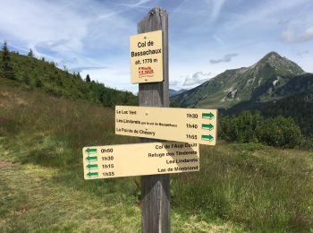
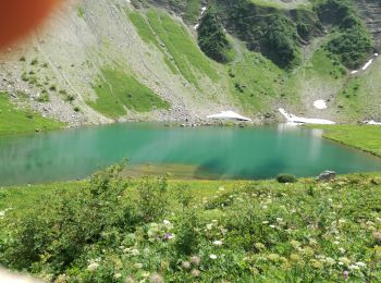
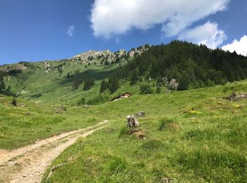
• Laisser la voiture au parking du Lac des Plagnes. Monter sur c jusqu'au Chalets de Lens. Attention: continuer à droit...

Walking
 9.765
9.765
sport
Mountain bike
Walking
Walking
Walking

Mountain bike
Walking
Snowshoes
Walking
Walking
Walking
20 trails displayed on 118
FREE GPS app for hiking
 SityTrail
IGN / Geographical institutes
SityTrail World
The world is yours!