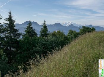
Draillant, Upper Savoy: Best trails, routes and walks

2 comments

Draillant: Discover the best trails: 6 hiking trails and 2 bike and mountain-bike routes. All these trails, routes and outdoor activities are available in our SityTrail applications for smartphones and tablets.


The best trails (9)
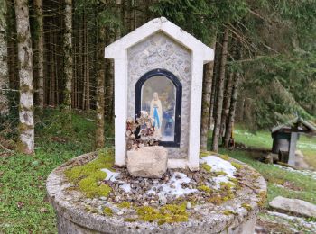
Trail Walking Draillant - Col des moises et les oratoires  - Photo
Walking 9.037
Km

Walking

Easy
Draillant, Auvergne-Rhône-Alpes, Upper Savoy, France
9 km | 15.1 km-effort
3h 48min
460 m
452 m
Yes
dragonfr67

Trail Walking Draillant - Le Mont Forchat, 1539m - Habère Lullin - Photo
Walking 7.356
Km

Walking

Medium
(2)
Draillant, Auvergne-Rhône-Alpes, Upper Savoy, France
7.4 km | 13.6 km-effort
3h 15min
470 m
470 m
Yes
tracegps

Trail On foot Draillant - col de moises - Photo
On foot 7.224
Km

On foot

Easy
Draillant, Auvergne-Rhône-Alpes, Upper Savoy, France
7.2 km | 11.8 km-effort
2h 41min
344 m
344 m
Yes
sblanc2

Trail Nordic walking Draillant - Thonon - Photo
Nordic walking 7.459
Km

Nordic walking

Draillant, Auvergne-Rhône-Alpes, Upper Savoy, France
7.5 km | 9.9 km-effort
1h 31min
180 m
180 m
Yes
arnauld-42

Trail Walking Draillant - Trecourt - Photo
Walking 5.21
Km

Walking

Medium
Draillant, Auvergne-Rhône-Alpes, Upper Savoy, France
5.2 km | 7.2 km-effort
2h 57min
148 m
154 m
No
GeoffroyDEBEAUCORPS

Trail Mountain bike Draillant - vtt bogeve - Photo
Mountain bike 26.664
Km

Mountain bike

Easy
Draillant, Auvergne-Rhône-Alpes, Upper Savoy, France
27 km | 44 km-effort
3h 21min
1263 m
1275 m
Yes
tintin73

Trail Walking Draillant - Mont Forchat depuis Chez Roch - Photo
Walking 10.83
Km

Walking

Difficult
Draillant, Auvergne-Rhône-Alpes, Upper Savoy, France
10.8 km | 19.3 km-effort
3h 54min
636 m
637 m
Yes
Ben Garcia

Trail Mountain bike Draillant - Orcier boege orcier - Photo
Mountain bike 46.078
Km

Mountain bike

Easy
Draillant, Auvergne-Rhône-Alpes, Upper Savoy, France
46 km | 64 km-effort
6h 38min
1331 m
1290 m
No
papydoudou

Trail sport Draillant - Moises - Photo
sport 2.228
Km

sport

Very easy
Draillant, Auvergne-Rhône-Alpes, Upper Savoy, France
2.2 km | 2.9 km-effort
Unknown
32 m
99 m
No
thierry.berthouze

9 trails displayed on 9

FREE GPS app for hiking

Logo SityTrail SityTrail

IGN / Geographical institutes

Download SityTrail from the App Store Download SityTrail from Google Play

Logo SityTrail SityTrail World

The world is yours!

Download SityTrail from the App Store Download SityTrail from Google Play Download SityTrail on Huawei AppGallery

Activities

Close
My subscriptions