


6.8 km | 11.1 km-effort
Saint-Bon-Tarentaise: Discover the best trails: 58 hiking trails, 9 bike and mountain-bike routes and 10 equestrian circuits. All these trails, routes and outdoor activities are available in our SityTrail applications for smartphones and tablets.
Walking


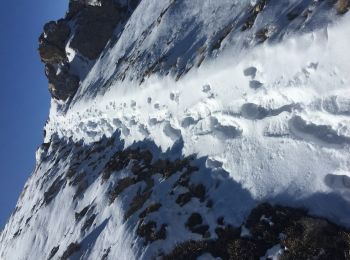
• Piste mal délimitée sur la fin

Walking
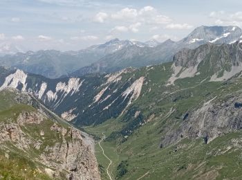
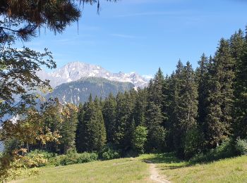
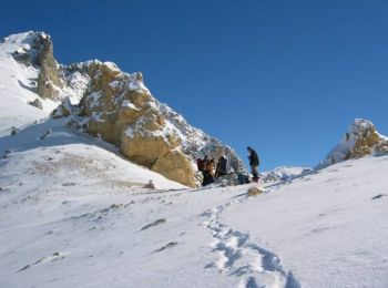
• Montée classique au départ de Courchevel 1650. Retour par la combe des Roches
Walking
Walking
Walking
Walking
Walking
Mountain bike
Walking
Walking
Walking
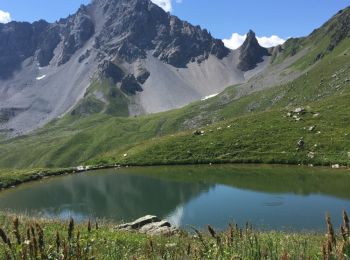
• Très beaux lacs glaciaires, deux refuges proches. Vue éblouissante sur le retour mais passage par les pistes avant la...
Walking
• Très beaux lacs glaciaires, deux refuges proches. Vue éblouissante sur le retour mais passage par les pistes avant la...
Walking
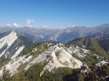
• Ascension de la Dent du Villars, 2280 mètres.
Walking
Walking
Walking
Walking

Alpine skiing

 23.378
sport

Touring skiing
20 trails displayed on 100
FREE GPS app for hiking
 SityTrail
IGN / Geographical institutes
SityTrail World
The world is yours!