


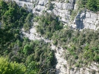
12.7 km | 23 km-effort
Apremont: Discover the best trails: 97 hiking trails and 1 bike and mountain-bike routes. All these trails, routes and outdoor activities are available in our SityTrail applications for smartphones and tablets.
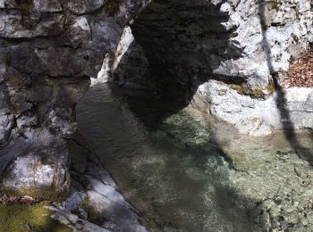
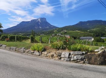
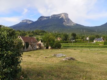
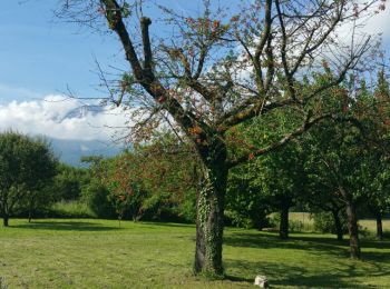
Walking


Walking
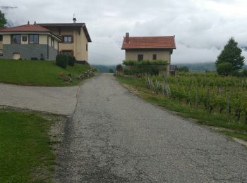
Walking
Walking

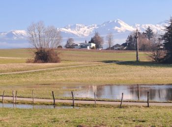
Walking
Walking
Walking
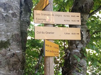
• SLM - Pierre Hâchée - Chemin des Drvets - Chemin de l'Abis - Chacuzard - Léché - Le Gaz
Walking
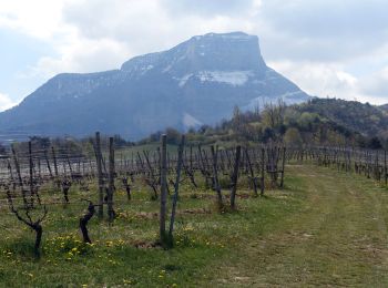
• Parcours des 4 communes : Apremont, Saint Baldpoh, Myans et Les Marches

Walking
• via Le Peney
Walking
Walking
Walking
Walking
Walking
Walking
Walking

Walking
Walking
Walking

Walking
20 trails displayed on 107
FREE GPS app for hiking
 SityTrail
IGN / Geographical institutes
SityTrail World
The world is yours!