


13.6 km | 25 km-effort
La Côte-d'Aime: Discover the best trails: 40 hiking trails. All these trails, routes and outdoor activities are available in our SityTrail applications for smartphones and tablets.
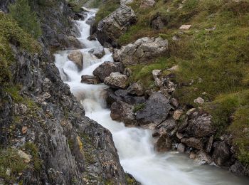
Walking


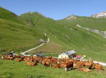
• Beaufortain

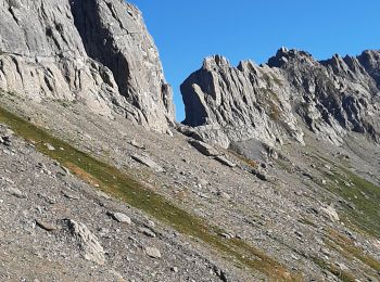
Touring skiing
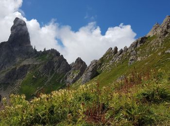
Walking
Walking

Walking
Walking
Walking
• File with points/tracks from Locus Map/3.31.3

Snowshoes
Other activity
Walking
Walking
• File with points/tracks from Locus Map/3.31.3
Walking
• File with points/tracks from Locus Map/3.31.3
Walking
• File with points/tracks from Locus Map/3.31.3
Walking

Walking

Walking

 17.041
sport
• grp_trc:[visibles]

Touring skiing
Walking
Touring skiing
20 trails displayed on 81
FREE GPS app for hiking
 SityTrail
IGN / Geographical institutes
SityTrail World
The world is yours!