


4 km | 6.2 km-effort
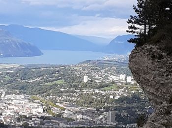
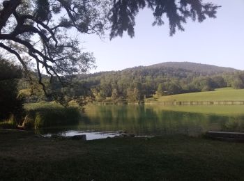
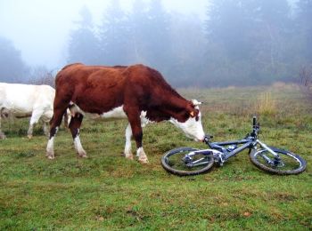
La Ravoire: Discover the best trails: 16 hiking trails and 12 bike and mountain-bike routes. All these trails, routes and outdoor activities are available in our SityTrail applications for smartphones and tablets.
Walking


Road bike
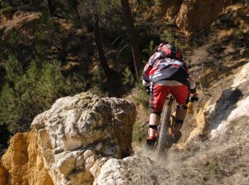
Mountain bike
Mountain bike

Mountain bike

Mountain bike
Mountain bike

Mountain bike

Walking
Mountain bike
• Par la Berte
Mountain bike
• Debut bitume puis forêt. 1h30 de montée très difficile
Road bike

Trail
Mountain bike
Walking
Walking
Walking
Walking
Walking
Walking
20 trails displayed on 29
FREE GPS app for hiking
 SityTrail
IGN / Geographical institutes
SityTrail World
The world is yours!