Le Falgoux, Cantal: Best trails, routes and walks

9 comments

Le Falgoux: Discover the best trails: 73 hiking trails, 1 bike and mountain-bike routes and 1 equestrian circuits. All these trails, routes and outdoor activities are available in our SityTrail applications for smartphones and tablets.


The best trails (82)
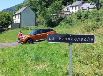
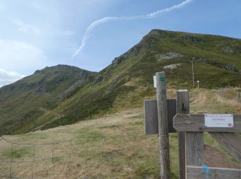
Trail Walking Le Falgoux - Franconèche- Gr400-chemin des Italiens bis - Photo
Walking 18.771
Km

Walking

Very difficult
(1)
Le Falgoux, Auvergne-Rhône-Alpes, Cantal, France
18.8 km | 28 km-effort
6h 46min
687 m
686 m
Yes
Jean Yves Erard

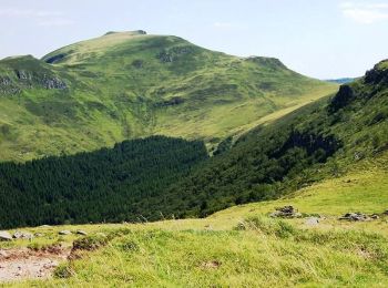
Trail On foot Le Falgoux - Le Roc du Merle - Photo
On foot 8.314
Km
GUIDE+

On foot

Easy
Le Falgoux, Auvergne-Rhône-Alpes, Cantal, France
8.3 km | 14.5 km-effort
3h 18min
478 m
435 m
No
SityTrail - itinéraires balisés pédestres

• Trail created by Association Aspect.
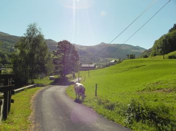
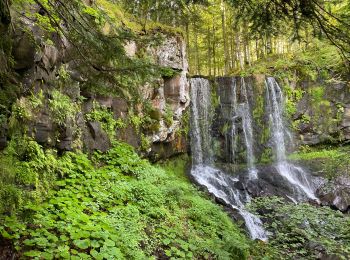
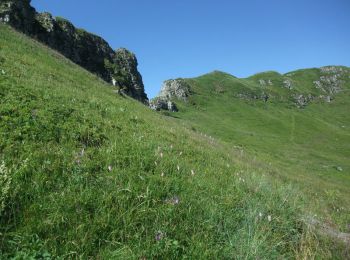
Trail On foot Le Falgoux - Sentier de la cascade du Biaguin - Photo
On foot 3.761
Km
GUIDE+

On foot

Easy
Le Falgoux, Auvergne-Rhône-Alpes, Cantal, France
3.8 km | 5.5 km-effort
1h 14min
130 m
130 m
Yes
SityTrail - itinéraires balisés pédestres

• Trail created by Association Aspect. Symbol: Balisage bleu
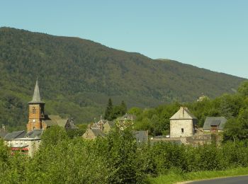
Trail On foot Le Falgoux - La Baladie - Photo
On foot 10.926
Km
GUIDE+

On foot

Easy
(1)
Le Falgoux, Auvergne-Rhône-Alpes, Cantal, France
10.9 km | 18.5 km-effort
4h 11min
565 m
568 m
Yes
SityTrail - itinéraires balisés pédestres

• Trail created by Association Aspect. Symbol: balisageJaune
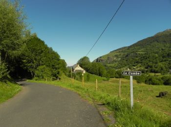
Trail On foot Le Falgoux - Le Mars - Photo
On foot 9.876
Km
GUIDE+

On foot

Easy
Le Falgoux, Auvergne-Rhône-Alpes, Cantal, France
9.9 km | 16.1 km-effort
3h 39min
465 m
469 m
Yes
SityTrail - itinéraires balisés pédestres

• Trail created by Pays de Salers. Symbol: balisageJaune
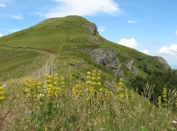
Trail On foot Le Falgoux - Sur la route des transhumances étape 2 - Photo
On foot 18.321
Km
GUIDE+

On foot

Difficult
Le Falgoux, Auvergne-Rhône-Alpes, Cantal, France
18.3 km | 31 km-effort
7h 4min
984 m
894 m
No
SityTrail - itinéraires balisés pédestres

• Le territoire de la Communauté de Communes du Pays de Salers se compose de 27 communes dont 14 font partie du Parc Na...
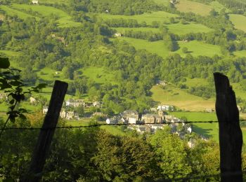
Trail On foot Le Falgoux - Sentier du Bar - Photo
On foot 4.706
Km
GUIDE+

On foot

Easy
Le Falgoux, Auvergne-Rhône-Alpes, Cantal, France
4.7 km | 8 km-effort
1h 49min
249 m
253 m
Yes
SityTrail - itinéraires balisés pédestres

• Trail created by Association Aspect.

Trail Walking Le Falgoux - le falgoux - Photo
Walking 7.777
Km

Walking

Easy
(1)
Le Falgoux, Auvergne-Rhône-Alpes, Cantal, France
7.8 km | 10.4 km-effort
2h 22min
196 m
195 m
Yes
robertserre

• Falgoux 31.12.2012

Trail Walking Le Falgoux - puy mary - Photo
Walking 5.829
Km

Walking

Very easy
Le Falgoux, Auvergne-Rhône-Alpes, Cantal, France
5.8 km | 10.9 km-effort
2h 24min
375 m
398 m
Yes
bellouelo46

Trail Mountain bike Le Falgoux - Le Falgoux - Pas de Peyrol - Photo
Mountain bike 45.739
Km

Mountain bike

Very difficult
Le Falgoux, Auvergne-Rhône-Alpes, Cantal, France
46 km | 68 km-effort
4h 20min
1702 m
1679 m
No
kipoura

Trail Walking Le Falgoux - Le Puy Marie  - Photo
Walking 6.559
Km

Walking

Difficult
Le Falgoux, Auvergne-Rhône-Alpes, Cantal, France
6.6 km | 12 km-effort
3h 9min
413 m
401 m
Yes
REMEINGER

Trail Walking Le Falgoux - Cascade du Biagun - Photo
Walking 3.146
Km

Walking

Easy
Le Falgoux, Auvergne-Rhône-Alpes, Cantal, France
3.1 km | 5 km-effort
1h 19min
138 m
137 m
Yes
tiki01

Trail Walking Le Falgoux - Randonnée en aller -retour du Pas de Peyrol à la brèche d'Enfloquet - Photo
Walking 14.659
Km

Walking

Medium
Le Falgoux, Auvergne-Rhône-Alpes, Cantal, France
14.7 km | 25 km-effort
2h 22min
742 m
744 m
Yes
ilur56

Trail Walking Le Falgoux - Chavaroche - Photo
Walking 4.078
Km

Walking

Le Falgoux, Auvergne-Rhône-Alpes, Cantal, France
4.1 km | 6.8 km-effort
2h 33min
208 m
202 m
Yes
robertserre

Trail Walking Le Falgoux - Puy mary  - Photo
Walking 1.871
Km

Walking

Le Falgoux, Auvergne-Rhône-Alpes, Cantal, France
1.9 km | 4.3 km-effort
1h 12min
183 m
187 m
Yes
jpmilet

Trail Walking Le Falgoux - 1 : Roche Noire - Roc d'Hozières - Roc des Ombres ; Roche Noire -- 2 : Col Pas de Peyrol - sommet du Puy Mary - boucle  - Photo
Walking 14.181
Km

Walking

Very difficult
Le Falgoux, Auvergne-Rhône-Alpes, Cantal, France
14.2 km | 28 km-effort
5h 34min
1033 m
980 m
No
vertygo

Trail Walking Le Falgoux - Le puy de Chavaroche PR®  - Photo
Walking 8.858
Km

Walking

Difficult
Le Falgoux, Auvergne-Rhône-Alpes, Cantal, France
8.9 km | 17 km-effort
4h 0min
612 m
613 m
Yes
tracegps

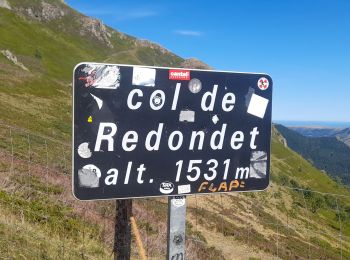
Trail Walking Le Falgoux - D17 Col de Redondet - Photo
Walking 21.719
Km

Walking

Difficult
Le Falgoux, Auvergne-Rhône-Alpes, Cantal, France
22 km | 36 km-effort
6h 0min
1035 m
1034 m
Yes
tracegps

Trail Walking Le Falgoux - puy marie - Photo
Walking 4.555
Km

Walking

Medium
Le Falgoux, Auvergne-Rhône-Alpes, Cantal, France
4.6 km | 7.2 km-effort
1h 46min
192 m
207 m
Yes
micheleuvrard

Trail Walking Le Falgoux - Puy Mary  - Photo
Walking 2.884
Km

Walking

Medium
Le Falgoux, Auvergne-Rhône-Alpes, Cantal, France
2.9 km | 5.9 km-effort
1h 31min
231 m
217 m
Yes
cousam

20 trails displayed on 82

FREE GPS app for hiking

Logo SityTrail SityTrail

IGN / Geographical institutes

Download SityTrail from the App Store Download SityTrail from Google Play

Logo SityTrail SityTrail World

The world is yours!

Download SityTrail from the App Store Download SityTrail from Google Play Download SityTrail on Huawei AppGallery

Activities

Close
My subscriptions