


11.3 km | 16.7 km-effort
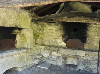
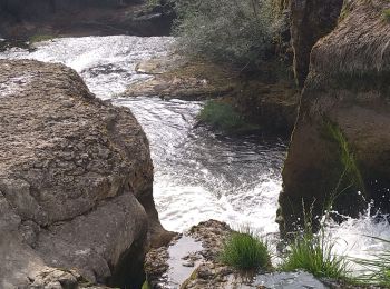
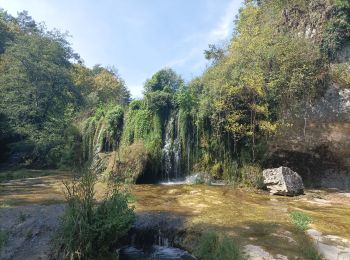
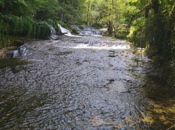
Matafelon-Granges: Discover the best trails: 27 hiking trails and 1 bike and mountain-bike routes. All these trails, routes and outdoor activities are available in our SityTrail applications for smartphones and tablets.
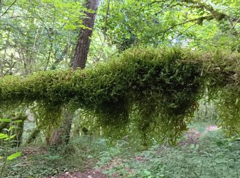
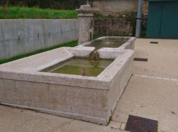
On foot


• Symbol: Gelber Strich als Wanderzeichen.
Walking
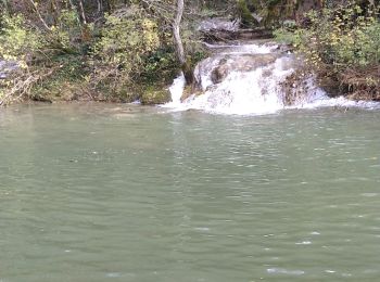
Walking
Walking
Walking
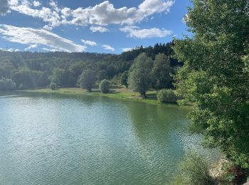
• Ballade en famille
Walking
Walking
Walking

Walking
Walking

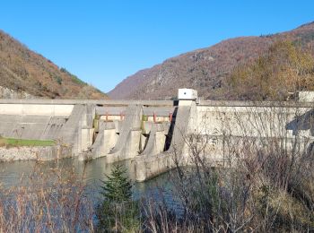
Mountain bike

Walking
Walking
Walking
Walking
Walking
Walking
Walking
Walking
Walking
20 trails displayed on 28
FREE GPS app for hiking
 SityTrail
IGN / Geographical institutes
SityTrail World
The world is yours!