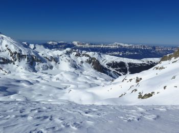
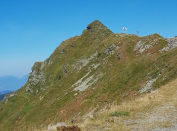
La Ferrière, Le Haut-Bréda: Best trails, routes and walks

5 comments

La Ferrière: Discover the best trails: 103 hiking trails and 4 bike and mountain-bike routes. All these trails, routes and outdoor activities are available in our SityTrail applications for smartphones and tablets.


The best trails (139)
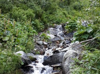
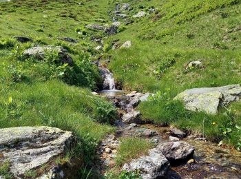
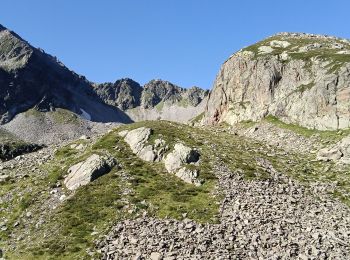
Trail Walking Le Haut-Bréda - Lac Blanc Lac de la Folle - Photo
Walking 12.161
Km
GUIDE

Walking

Very difficult
(1)
Le Haut-Bréda, Auvergne-Rhône-Alpes, Isère, France
12.2 km | 28 km-effort
6h 59min
1196 m
1198 m
Yes
nadinebondoux

Trail Walking Le Haut-Bréda - Combe du Prat - Photo
Walking 9.549
Km
GUIDE

Walking

Medium
Le Haut-Bréda, Auvergne-Rhône-Alpes, Isère, France
9.5 km | 16.7 km-effort
3h 18min
536 m
537 m
Yes
nadinebondoux

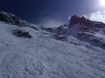
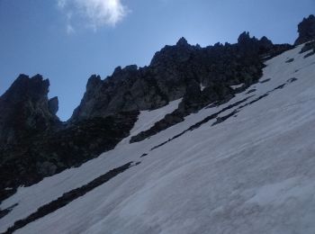
Trail Touring skiing Le Haut-Bréda - Belle Etoile et Pic des Cabottes couloir S - Photo
Touring skiing 15.679
Km
GUIDE

Touring skiing

Very difficult
Le Haut-Bréda, Auvergne-Rhône-Alpes, Isère, France
15.7 km | 38 km-effort
8h 4min
1706 m
1689 m
Yes
nadd73

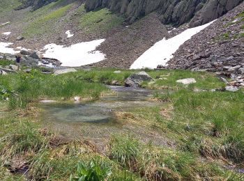
Trail Walking Le Haut-Bréda - Les lacs sept Claux - Photo
Walking 12.815
Km
GUIDE

Walking

Difficult
Le Haut-Bréda, Auvergne-Rhône-Alpes, Isère, France
12.8 km | 27 km-effort
6h 56min
1100 m
1093 m
Yes
nadinebondoux

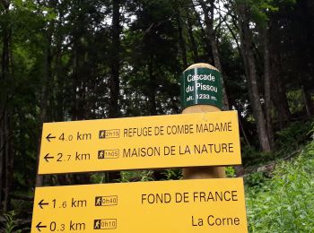
Trail Walking Le Haut-Bréda - cascade du Pissou - Photo
Walking 5.889
Km
GUIDE

Walking

Medium
Le Haut-Bréda, Auvergne-Rhône-Alpes, Isère, France
5.9 km | 8.9 km-effort
2h 3min
224 m
226 m
Yes
nadinebondoux

Trail Touring skiing Le Haut-Bréda - cime de la Jase, col de la pouta, col de l'évêque - Photo
Touring skiing 12.469
Km
GUIDE

Touring skiing

Medium
Le Haut-Bréda, Auvergne-Rhône-Alpes, Isère, France
12.5 km | 34 km-effort
8h 54min
1587 m
1591 m
Yes
nadd73

Trail Touring skiing Le Haut-Bréda - pic de la belle étoile, vers la dent du Pra - Photo
Touring skiing 9.591
Km
GUIDE

Touring skiing

Medium
Le Haut-Bréda, Auvergne-Rhône-Alpes, Isère, France
9.6 km | 26 km-effort
7h 16min
1243 m
1245 m
Yes
nadd73

Trail Other activity Le Haut-Bréda - Rocher Blanc 7 Laux - Photo
Other activity 18.909
Km

Other activity

Very difficult
(1)
Le Haut-Bréda, Auvergne-Rhône-Alpes, Isère, France
18.9 km | 44 km-effort
11h 2min
1846 m
1845 m
Yes
loicthev

Trail Walking Le Haut-Bréda - Pleynet, Chalet du Gleysin les 7 laux - Photo
Walking 18.649
Km

Walking

Medium
Le Haut-Bréda, Auvergne-Rhône-Alpes, Isère, France
18.6 km | 33 km-effort
6h 0min
1107 m
1116 m
No
Zasa

Trail Walking Le Haut-Bréda - Fond de France _les 7 laux Lac Blanc  - Photo
Walking 16.207
Km

Walking

Difficult
Le Haut-Bréda, Auvergne-Rhône-Alpes, Isère, France
16.2 km | 33 km-effort
7h 25min
1233 m
1238 m
Yes
ranchoup

Trail Walking Le Haut-Bréda - 2jours dans la vallée de la Valloire  - Photo
Walking 20.018
Km
GUIDE

Walking

Difficult
Le Haut-Bréda, Auvergne-Rhône-Alpes, Isère, France
20 km | 50 km-effort
11h 17min
2224 m
2220 m
Yes
nadd73

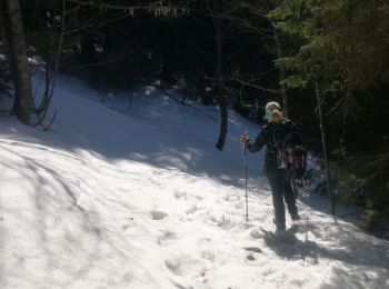
Trail Snowshoes Le Haut-Bréda - lac blanc de la grande valloire  - Photo
Snowshoes 10.797
Km

Snowshoes

Medium
(1)
Le Haut-Bréda, Auvergne-Rhône-Alpes, Isère, France
10.8 km | 26 km-effort
4h 30min
1156 m
1155 m
Yes
Zasa

Trail Walking Le Haut-Bréda - Refuge Combe Madame de Fond de France / la Marmottane  - Photo
Walking 14.335
Km
GUIDE

Walking

Difficult
Le Haut-Bréda, Auvergne-Rhône-Alpes, Isère, France
14.3 km | 27 km-effort
6h 2min
988 m
960 m
No
nadinebondoux

Trail Touring skiing Le Haut-Bréda - la belle étoile - Photo
Touring skiing 9.805
Km
GUIDE

Touring skiing

Easy
Le Haut-Bréda, Auvergne-Rhône-Alpes, Isère, France
9.8 km | 25 km-effort
6h 17min
1147 m
1150 m
Yes
nadd73

Trail Walking Le Haut-Bréda - Le gros rocher - Photo
Walking 9.706
Km
GUIDE

Walking

Easy
Le Haut-Bréda, Auvergne-Rhône-Alpes, Isère, France
9.7 km | 14 km-effort
2h 32min
217 m
652 m
No
nadinebondoux

Trail Walking Le Haut-Bréda - Lacs de la Valloire - Photo
Walking 16.075
Km

Walking

Difficult
Le Haut-Bréda, Auvergne-Rhône-Alpes, Isère, France
16.1 km | 36 km-effort
7h 48min
1494 m
1497 m
Yes
Noiraude

Trail Walking Le Haut-Bréda - les 7 laux - Photo
Walking 14.334
Km

Walking

Medium
Le Haut-Bréda, Auvergne-Rhône-Alpes, Isère, France
14.3 km | 29 km-effort
4h 11min
1086 m
1100 m
Yes
mikaelerouzic

Trail Walking Le Haut-Bréda - 20220823 Fond de France - Photo
Walking 4.877
Km

Walking

Medium
Le Haut-Bréda, Auvergne-Rhône-Alpes, Isère, France
4.9 km | 7.3 km-effort
1h 49min
176 m
204 m
No
Jack.du.73

Trail Touring skiing Le Haut-Bréda - Col du Mouchillon - Photo
Touring skiing 13.003
Km

Touring skiing

Medium
Le Haut-Bréda, Auvergne-Rhône-Alpes, Isère, France
13 km | 32 km-effort
6h 0min
1425 m
1426 m
Yes
Gouze13

Trail Walking Le Haut-Bréda - roche noire - Photo
Walking 11.069
Km

Walking

Medium
Le Haut-Bréda, Auvergne-Rhône-Alpes, Isère, France
11.1 km | 20 km-effort
6h 41min
681 m
682 m
Yes
pffrench

20 trails displayed on 139

FREE GPS app for hiking

Logo SityTrail SityTrail

IGN / Geographical institutes

Download SityTrail from the App Store Download SityTrail from Google Play

Logo SityTrail SityTrail World

The world is yours!

Download SityTrail from the App Store Download SityTrail from Google Play Download SityTrail on Huawei AppGallery

Activities

Close
My subscriptions