


7.7 km | 11.1 km-effort
Planfoy: Discover the best trails: 17 hiking trails and 2 bike and mountain-bike routes. All these trails, routes and outdoor activities are available in our SityTrail applications for smartphones and tablets.
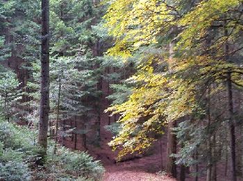
Walking


Walking
Walking
Walking
•
Via ferrata
Walking

Mountain bike
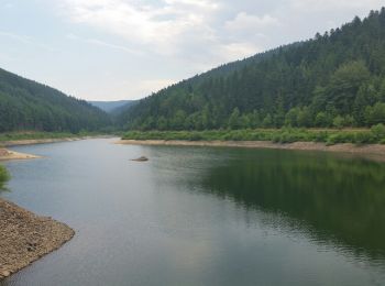
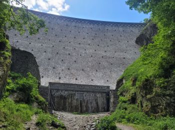
• Tour des barrages
Walking
• facile
Walking
• facile

Motor
Motor
• 50km dans le parc du pilat
Motor
• 50km dans le parc du pilat
Walking
•

 9.586
9.586
sport
Walking
Mountain bike
Walking
Walking

Cross-country skiing
Walking
20 trails displayed on 26
FREE GPS app for hiking
 SityTrail
IGN / Geographical institutes
SityTrail World
The world is yours!