


10 km | 13.6 km-effort
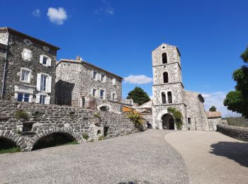
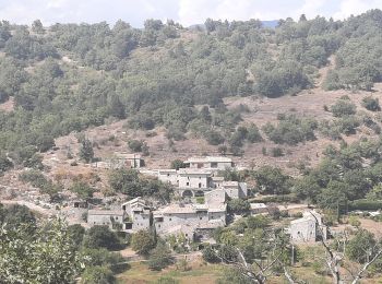
Saint-Laurent-sous-Coiron: Discover the best trails: 19 hiking trails. All these trails, routes and outdoor activities are available in our SityTrail applications for smartphones and tablets.
Walking


Walking
Walking
Walking
Walking
Walking
Walking
Other activity
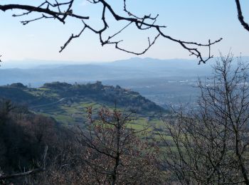
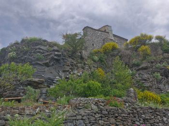
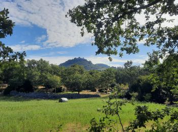
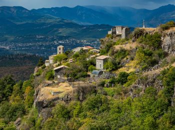
• Randonnée sur le rebord du Coiron. Contraste entre la crête calcaire de Chante Epine et la crête basaltique entre la ...

Walking
Other activity
• Randonnée sur le rebord du Coiron. Contraste entre la crête calcaire de Chante Epine et la crête basaltique entre la ...

Walking
• Randonnée sur le rebord du Coiron. Contraste entre la crête calcaire de Chante Epine et la crête basaltique entre la ...
Walking
Walking
Walking
Walking
Walking
Walking
Walking
Walking
Walking
20 trails displayed on 22
FREE GPS app for hiking
 SityTrail
IGN / Geographical institutes
SityTrail World
The world is yours!