


5.1 km | 7.8 km-effort
Haramont: Discover the best trails: 8 hiking trails. All these trails, routes and outdoor activities are available in our SityTrail applications for smartphones and tablets.
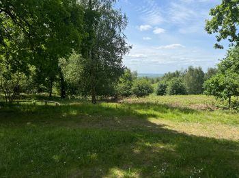
Walking


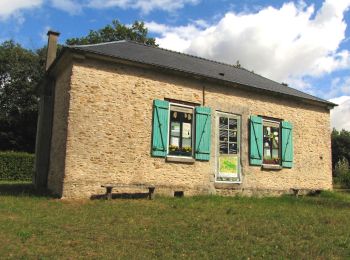
Walking
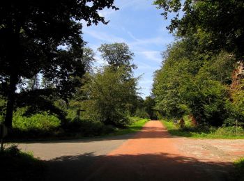
Walking
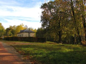
Walking
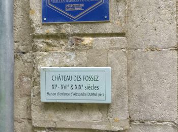
• voir aussi mon blog: http://foret-de-retz.over-blog.com/ 11/ 2018 batterie de recharge pour iphone indispensable. ...
Walking
Walking

Walking
Walking
8 trails displayed on 8
FREE GPS app for hiking
 SityTrail
IGN / Geographical institutes
SityTrail World
The world is yours!