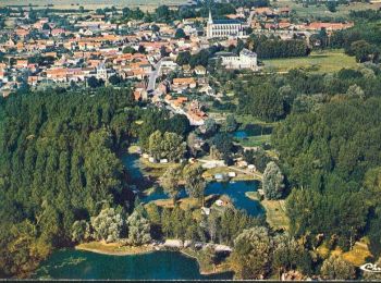
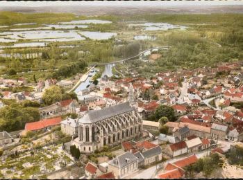
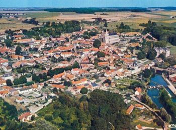
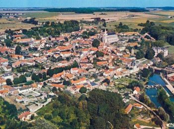
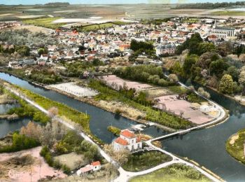
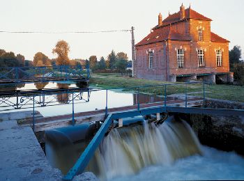
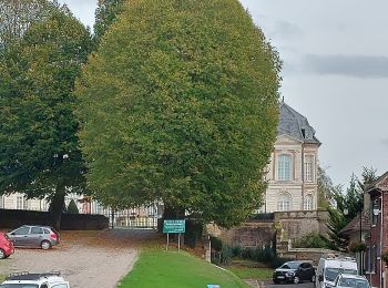
Long, Somme: Best trails, routes and walks

2 comments

Long: Discover the best trails: 14 hiking trails and 9 bike and mountain-bike routes. All these trails, routes and outdoor activities are available in our SityTrail applications for smartphones and tablets.


The best trails (24)
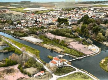
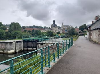
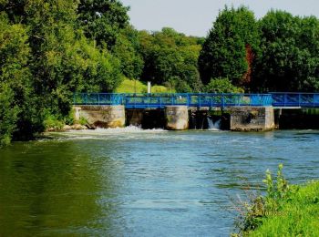
Trail Walking Long - L'écluse et la centrale hydroélectrique  -  Long - Photo
Walking 2.445
Km

Walking

Easy
(1)
Long, Hauts-de-France, Somme, France
2.4 km | 2.6 km-effort
30min
15 m
15 m
Yes
tracegps

Trail Walking Long - long bleue 9km - Photo
Walking 9.371
Km

Walking

Medium
Long, Hauts-de-France, Somme, France
9.4 km | 10.2 km-effort
2h 3min
63 m
47 m
No
fif59280

Trail On foot Long - Les Bords de Somme - Photo
On foot 7.876
Km
GUIDE+

On foot

Easy
Long, Hauts-de-France, Somme, France
7.9 km | 8.4 km-effort
1h 54min
39 m
43 m
Yes
SityTrail - itinéraires balisés pédestres

Trail Walking Long - Une randonnée rythmée par les étangs. - Photo
Walking 6.696
Km

Walking

Very easy
Long, Hauts-de-France, Somme, France
6.7 km | 7.1 km-effort
1h 53min
33 m
34 m
No
Luc Gengoux

Trail Mountain bike Long - Circuit autour de Long - Photo
Mountain bike 29.965
Km

Mountain bike

Difficult
Long, Hauts-de-France, Somme, France
30 km | 35 km-effort
3h 0min
368 m
365 m
Yes
tracegps

Trail Walking Long - Promenade n° 2 à Long    - Photo
Walking 5.125
Km

Walking

Easy
Long, Hauts-de-France, Somme, France
5.1 km | 6.5 km-effort
1h 15min
101 m
101 m
Yes
tracegps

Trail Mountain bike Long - Promenade des plateaux  -  Long - Photo
Mountain bike 19.869
Km

Mountain bike

Difficult
Long, Hauts-de-France, Somme, France
19.9 km | 23 km-effort
2h 0min
256 m
257 m
Yes
tracegps

Trail Mountain bike Long - Balade des Larris - Long - Photo
Mountain bike 11.86
Km

Mountain bike

Medium
Long, Hauts-de-France, Somme, France
11.9 km | 14.3 km-effort
1h 0min
185 m
185 m
Yes
tracegps

Trail Mountain bike Long - Longue promenade dans les marais de Long - Photo
Mountain bike 13.036
Km

Mountain bike

Medium
Long, Hauts-de-France, Somme, France
13 km | 13.9 km-effort
1h 19min
67 m
67 m
Yes
tracegps

Trail Walking Long - Longue promenade dans les marais de Long - Photo
Walking 13.036
Km

Walking

Difficult
(1)
Long, Hauts-de-France, Somme, France
13 km | 13.9 km-effort
3h 15min
67 m
67 m
Yes
tracegps

Trail Mountain bike Long - Long par l'autre versant - Photo
Mountain bike 11.818
Km

Mountain bike

Medium
Long, Hauts-de-France, Somme, France
11.8 km | 13.5 km-effort
1h 15min
129 m
129 m
Yes
tracegps

Trail Walking Long - Long par l'autre versant - Photo
Walking 11.818
Km

Walking

Medium
Long, Hauts-de-France, Somme, France
11.8 km | 13.5 km-effort
3h 0min
129 m
129 m
Yes
tracegps

Trail Mountain bike Long - Les Marais et la Chaussée du Catelet  - Long - Photo
Mountain bike 6.261
Km

Mountain bike

Easy
Long, Hauts-de-France, Somme, France
6.3 km | 6.7 km-effort
25min
34 m
34 m
Yes
tracegps

Trail Walking Long - Les Marais et la Chaussée du Catelet  - Long - Photo
Walking 6.261
Km

Walking

Easy
Long, Hauts-de-France, Somme, France
6.3 km | 6.7 km-effort
1h 15min
34 m
34 m
Yes
tracegps

Trail Mountain bike Long - L'écluse et la centrale hydroélectrique  -  Long - Photo
Mountain bike 2.445
Km

Mountain bike

Easy
Long, Hauts-de-France, Somme, France
2.4 km | 2.6 km-effort
15min
15 m
15 m
Yes
tracegps

Trail Walking Long - Les bords de la Somme - Photo
Walking 7.895
Km

Walking

Medium
Long, Hauts-de-France, Somme, France
7.9 km | 8.4 km-effort
2h 40min
41 m
42 m
Yes
tracegps

Trail Walking Long - Les hauts de Long - Photo
Walking 9.499
Km

Walking

Difficult
Long, Hauts-de-France, Somme, France
9.5 km | 11.5 km-effort
3h 19min
147 m
147 m
Yes
tracegps

Trail Walking Long - CDT80-Fiche9 - Photo
Walking 7.926
Km

Walking

Medium
Long, Hauts-de-France, Somme, France
7.9 km | 8.5 km-effort
1h 55min
42 m
42 m
Yes
r.durieux

Trail Walking Long - les étangs de Long - Photo
Walking 7.417
Km

Walking

Medium
Long, Hauts-de-France, Somme, France
7.4 km | 8.2 km-effort
2h 0min
58 m
54 m
Yes
BrassensJC

Trail Other activity Long - long - Photo
Other activity 16.529
Km

Other activity

Very easy
Long, Hauts-de-France, Somme, France
16.5 km | 18.5 km-effort
3h 47min
148 m
148 m
Yes
bourdet

20 trails displayed on 24

FREE GPS app for hiking

Logo SityTrail SityTrail

IGN / Geographical institutes

Download SityTrail from the App Store Download SityTrail from Google Play

Logo SityTrail SityTrail World

The world is yours!

Download SityTrail from the App Store Download SityTrail from Google Play Download SityTrail on Huawei AppGallery

Activities

Close
My subscriptions