


12 km | 14.3 km-effort
Tardinghen: Discover the best trails: 33 hiking trails, 2 bike and mountain-bike routes and 4 equestrian circuits. All these trails, routes and outdoor activities are available in our SityTrail applications for smartphones and tablets.
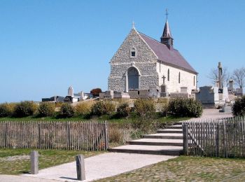
Walking


Walking

Walking
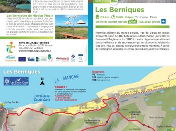
• Détails de la rando sur TraceGPS.com http://www.tracegps.com/fr/parcours/circuit3985.htm
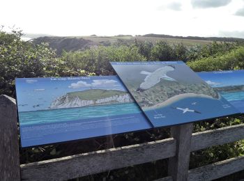
Walking
Walking
Walking
On foot
Walking
Walking
Walking
Walking

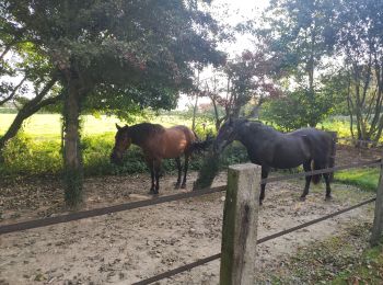
Horseback riding
Walking
Walking
• Détails de la rando sur TraceGPS.com http://www.tracegps.com/fr/parcours/circuit3985.htm
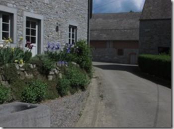
Walking

Walking

Walking
Walking
• Détails de la rando sur TraceGPS.com http://www.tracegps.com/fr/parcours/circuit3985.htm
Horseback riding

On foot
20 trails displayed on 38
FREE GPS app for hiking
 SityTrail
IGN / Geographical institutes
SityTrail World
The world is yours!