


8.3 km | 9.2 km-effort
Südheide: Discover the best trails: 16 hiking trails. All these trails, routes and outdoor activities are available in our SityTrail applications for smartphones and tablets.
On foot


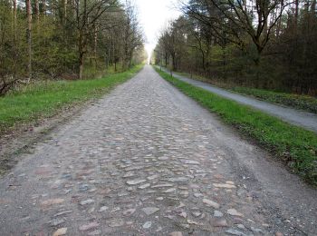
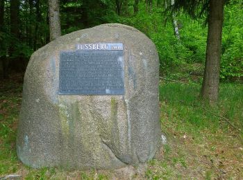
• Die Wanderung W7 "Gauß'sche Vermessungspunkte im Bergland der Südheide" folgt den Spuren des berühmten Göttinger Math...
On foot
• Die Wanderung W7 "Gauß'sche Vermessungspunkte im Bergland der Südheide" folgt den Spuren des berühmten Göttinger Math...
On foot
• Die Wanderungen des W11 "Auf den Spuren des großen Waldbrandes" veranschaulichen, wie sich die Natur die Landschaft n...
On foot
• Die Wanderungen des W11 "Auf den Spuren des großen Waldbrandes" veranschaulichen, wie sich die Natur die Landschaft n...
On foot
• Die Wanderung des W9 "Wo die Wölfe ihre Fährten ziehen" führt durch die ausgedehnten Wälder bei Unterlüß und begibt s...
On foot
• Die Wanderung des W9 "Wo die Wölfe ihre Fährten ziehen" führt durch die ausgedehnten Wälder bei Unterlüß und begibt s...
On foot
• Die Wanderung des W9 "Wo die Wölfe ihre Fährten ziehen" führt durch die ausgedehnten Wälder bei Unterlüß und begibt s...
On foot
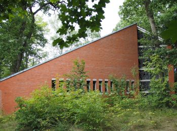
• Die Wanderung als Rundweg führt durch das ausgedehnte Waldgebiet südlich von Unterlüß: einem echten Urwald! Website:...
On foot
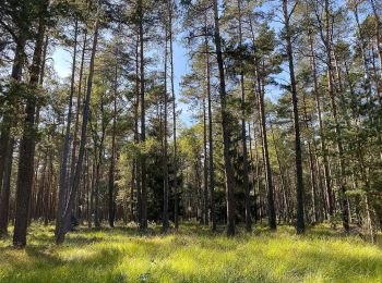
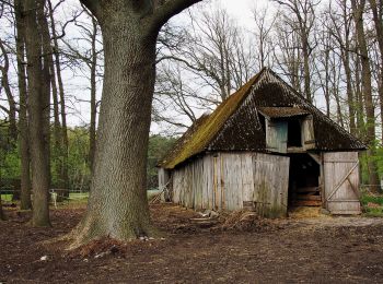
• Der etwa 7500 ha große Lüßwald östlich von Unterlüß gehört zu den größten zusammenhängenden Waldgebieten Deutschlands...
On foot
• Der Walderlebnispfad als Rundweg führt durch den einzigen Urwald der Lüneburger Heide. Wandern Sie als Tagestour durc...
On foot
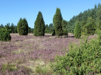
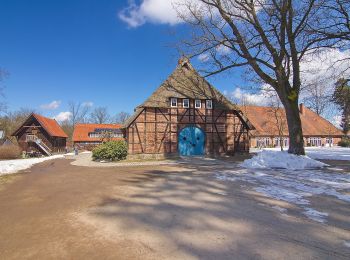
• Die Wanderwege des W10 "Im Reich der Heidschnucken" führen durch eines der schönsten Heidegebiete des Naturparks Südh...
On foot
• Die Wanderungen des W6 "In einem Bächlein helle" führen in die Niederung des Weesener Baches. Website: https://www.l...
On foot
• Die Wanderungen des W6 "In einem Bächlein helle" führen in die Niederung des Weesener Baches. Website: https://www.l...
On foot
• Die Wanderungen des W6 "In einem Bächlein helle" führen in die Niederung des Weesener Baches. Website: https://www.l...
On foot
• Die Wanderwege des W10 "Im Reich der Heidschnucken" führen durch eines der schönsten Heidegebiete des Naturparks Südh...
On foot
• früher/previous route
16 trails displayed on 16
FREE GPS app for hiking
 SityTrail
IGN / Geographical institutes
SityTrail World
The world is yours!