


7.5 km | 9.4 km-effort
Harz (Landkreis Göttingen): Discover the best trails: 7 hiking trails. All these trails, routes and outdoor activities are available in our SityTrail applications for smartphones and tablets.
On foot


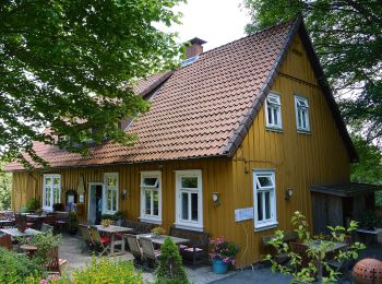
• Trail created by Harzklub. Symbol: Wasserrad auf blauem Grund
On foot
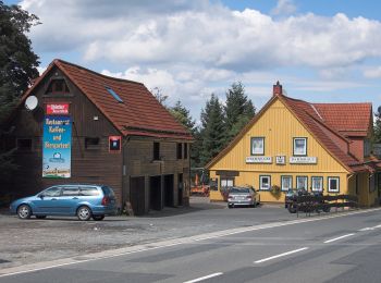
• Symbol: Wasserrad auf bleuem Grund
On foot
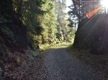
On foot
On foot
• Website: http://harzerbaudensteig.de/etappe-5-von-bad-sachsa-nach-wieda.html

On foot

Walking
• More information on GPStracks.nl : http://www.gpstracks.nl
7 trails displayed on 7
FREE GPS app for hiking
 SityTrail
IGN / Geographical institutes
SityTrail World
The world is yours!