![](/images/other/stat-length.png)
- Trails
- Outdoor
- Germany
- Hesse
- Landkreis Hersfeld-Rotenburg
- Niederaula
Niederaula, Landkreis Hersfeld-Rotenburg: Best trails, routes and walks
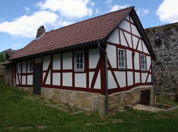
Niederaula: Discover the best trails: 2 hiking trails. All these trails, routes and outdoor activities are available in our SityTrail applications for smartphones and tablets.
The best trails (2)
![Trail On foot Niederaula - Herzberg Höhenweg - Photo](https://media.geolcdn.com/t/350/260/ext.jpg?maxdim=2&url=https%3A%2F%2Fmedia.geolcdn.com%2Ff%2F778bf8af-3a9a-4e9b-bb67-a82d9010de7d.jpeg)
![On foot On foot](https://static1.geolcdn.com/sitytour/trail-icons/100.png)
Km
#1 - Herzberg Höhenweg
On foot
Easy
Niederaula,
Hesse,
Landkreis Hersfeld-Rotenburg,
Germany
![](/images/other/stat-length.png)
14.3 km | 18.4 km-effort
4h 11min
![](https://static1.geolcdn.com/siteimages/upload/files/1508320355ic_sort_den_pos_24dp.png)
362 m
![](https://static1.geolcdn.com/siteimages/upload/files/1508320355ic_sort_den_neg_24dp.png)
140 m
![](https://static1.geolcdn.com/siteimages/upload/files/16400158638029165_repeat_loop_refresh_sync_direction_icon.png)
No
SityTrail - itinéraires balisés pédestres
• Trail created by Knüllgebirgsverein. incomplete Symbol: white _less than_ with 45 on black
![Trail On foot Niederaula - Fuldawanderweg KGV - Photo](https://media.geolcdn.com/t/350/260/ext.jpg?maxdim=2&url=https%3A%2F%2Fstatic1.geolcdn.com%2Fsiteimages%2Fupload%2Ffiles%2F1545311037marcheuse_200dpi.jpg)
![On foot On foot](https://static1.geolcdn.com/sitytour/trail-icons/100.png)
Km
#2 - Fuldawanderweg KGV
On foot
Easy
Niederaula,
Hesse,
Landkreis Hersfeld-Rotenburg,
Germany
![](/images/other/stat-length.png)
4.6 km | 5.2 km-effort
1h 11min
![](https://static1.geolcdn.com/siteimages/upload/files/1508320355ic_sort_den_pos_24dp.png)
11 m
![](https://static1.geolcdn.com/siteimages/upload/files/1508320355ic_sort_den_neg_24dp.png)
147 m
![](https://static1.geolcdn.com/siteimages/upload/files/16400158638029165_repeat_loop_refresh_sync_direction_icon.png)
No
SityTrail - itinéraires balisés pédestres
• Trail created by Knüllgebirgsverein. part of superroute rel_1292759
2 trails displayed on 2
FREE GPS app for hiking