Schöffengrund, Lahn-Dill-Kreis: Best trails, routes and walks

Schöffengrund: Discover the best trails: 8 hiking trails. All these trails, routes and outdoor activities are available in our SityTrail applications for smartphones and tablets.


The best trails (8)
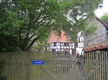
Trail On foot Schöffengrund - Rundwanderweg Reiskirchen - Schwalbach - Photo
On foot 4.264
Km
GUIDE+

On foot

Easy
Schöffengrund, Hesse, Lahn-Dill-Kreis, Germany
4.3 km | 5.2 km-effort
1h 10min
67 m
77 m
No
SityTrail - itinéraires balisés pédestres

• Trail created by Naturpark Taunus. Symbol: Grünes Eichenblatt auf weißem Grund
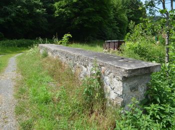
Trail On foot Schöffengrund - Rundwanderweg Schwalbach - Niederquembach - Photo
On foot 6.583
Km
GUIDE+

On foot

Easy
Schöffengrund, Hesse, Lahn-Dill-Kreis, Germany
6.6 km | 8.4 km-effort
1h 54min
135 m
143 m
No
SityTrail - itinéraires balisés pédestres

• Trail created by Naturpark Taunus. Symbol: schwarzer Keiler auf weißem Grund
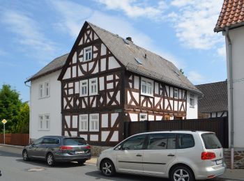
Trail On foot Schöffengrund - Wanderwege Oberquembach - Forelle - Photo
On foot 6.243
Km
GUIDE+

On foot

Easy
Schöffengrund, Hesse, Lahn-Dill-Kreis, Germany
6.2 km | 8.4 km-effort
1h 54min
163 m
160 m
Yes
SityTrail - itinéraires balisés pédestres

• Trail created by Naturpark Hochtaunus. Symbol: blaue Forelle auf weißem Grund

Trail On foot Schöffengrund - Wanderwege Niederquembach - Rehbock - Photo
On foot 6.391
Km
GUIDE+

On foot

Easy
Schöffengrund, Hesse, Lahn-Dill-Kreis, Germany
6.4 km | 8.3 km-effort
1h 52min
133 m
169 m
No
SityTrail - itinéraires balisés pédestres

• Trail created by Naturpark Hochtaunus. Symbol: roter Rehbock auf weißem Grund

Trail On foot Schöffengrund - Wanderwege Niederquembach - Hase - Photo
On foot 5.675
Km
GUIDE+

On foot

Easy
Schöffengrund, Hesse, Lahn-Dill-Kreis, Germany
5.7 km | 7 km-effort
1h 35min
101 m
104 m
Yes
SityTrail - itinéraires balisés pédestres

• Trail created by Naturpark Hochtaunus. Symbol: brauner Hase auf weißem Grund
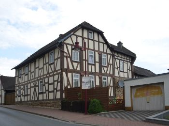
Trail On foot Schöffengrund - Wanderwege Schöffengrund - Hirschkäfer - Photo
On foot 5.559
Km
GUIDE+

On foot

Easy
Schöffengrund, Hesse, Lahn-Dill-Kreis, Germany
5.6 km | 6.7 km-effort
1h 30min
90 m
60 m
No
SityTrail - itinéraires balisés pédestres

• Trail created by Naturpark Hochtaunus. Symbol: schwarzer Hirschkäfer auf weißem Grund

Trail On foot Schöffengrund - Wanderwege Oberwetz - Eichenblatt - Photo
On foot 7.768
Km
GUIDE+

On foot

Easy
Schöffengrund, Hesse, Lahn-Dill-Kreis, Germany
7.8 km | 9.9 km-effort
2h 15min
160 m
161 m
Yes
SityTrail - itinéraires balisés pédestres

• Trail created by Naturpark Hochtaunus. Symbol: grünes Eichenblatt auf weißem Grund

Trail On foot Schöffengrund - Rundwanderweg Schwalbach - Photo
On foot 5.034
Km
GUIDE+

On foot

Easy
Schöffengrund, Hesse, Lahn-Dill-Kreis, Germany
5 km | 6.4 km-effort
1h 26min
91 m
130 m
No
SityTrail - itinéraires balisés pédestres

• Trail created by Naturpark Taunus. Symbol: Roter Rehkopf auf weißem Grund

8 trails displayed on 8

FREE GPS app for hiking

Logo SityTrail SityTrail

IGN / Geographical institutes

Download SityTrail from the App Store Download SityTrail from Google Play

Logo SityTrail SityTrail World

The world is yours!

Download SityTrail from the App Store Download SityTrail from Google Play Download SityTrail on Huawei AppGallery

Activities

Close
My subscriptions