Brombachtal, Odenwaldkreis: Best trails, routes and walks

Brombachtal: Discover the best trails: 12 hiking trails. All these trails, routes and outdoor activities are available in our SityTrail applications for smartphones and tablets.


The best trails (12)
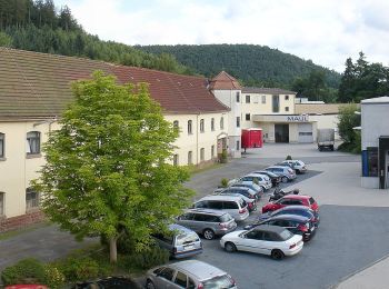
Trail On foot Brombachtal - Rundwanderweg Zell 4 : Brombach-Weg - Photo
On foot 6.061
Km
GUIDE+

On foot

Easy
Brombachtal, Hesse, Odenwaldkreis, Germany
6.1 km | 8.5 km-effort
1h 55min
181 m
177 m
Yes
SityTrail - itinéraires balisés pédestres

• Trail created by Geo-Naturpark Bergstraße-Odenwald. Symbol: white 4 in a white circle with Z in a break at the top o...
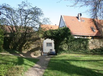
Trail On foot Brombachtal - Rundwanderweg Brombachtal 7: Fernblickweg - Photo
On foot 12.217
Km
GUIDE+

On foot

Easy
Brombachtal, Hesse, Odenwaldkreis, Germany
12.2 km | 16.6 km-effort
3h 45min
325 m
327 m
Yes
SityTrail - itinéraires balisés pédestres

• Trail created by Odenwaldklub. Symbol: white 7 in a white circle with B in a break at the top of the circle

Trail On foot Brombachtal - Rundwanderweg Brombachtal 3 - Photo
On foot 7.791
Km
GUIDE+

On foot

Easy
Brombachtal, Hesse, Odenwaldkreis, Germany
7.8 km | 10.9 km-effort
2h 28min
230 m
236 m
Yes
SityTrail - itinéraires balisés pédestres

• Trail created by Geo-Naturpark Bergstraße-Odenwald. Symbol: white 3 in a white circle with B in a break at the top o...

Trail On foot Brombachtal - Rundwanderweg Brombachtal 2 - Photo
On foot 3.367
Km
GUIDE+

On foot

Easy
Brombachtal, Hesse, Odenwaldkreis, Germany
3.4 km | 4.9 km-effort
1h 6min
111 m
113 m
Yes
SityTrail - itinéraires balisés pédestres

• Trail created by Geo-Naturpark Bergstraße-Odenwald. Symbol: white 2 in a white circle with B in a break at the top o...

Trail On foot Brombachtal - Rundwanderweg Brombachtal 3 - Photo
On foot 5.958
Km
GUIDE+

On foot

Easy
Brombachtal, Hesse, Odenwaldkreis, Germany
6 km | 8 km-effort
1h 48min
151 m
151 m
Yes
SityTrail - itinéraires balisés pédestres

• Trail created by Geo-Naturpark Bergstraße-Odenwald. Symbol: yellow 3 in yellow circle

Trail On foot Brombachtal - Rundwanderweg Brombachtal 4 - Photo
On foot 6.001
Km
GUIDE+

On foot

Easy
Brombachtal, Hesse, Odenwaldkreis, Germany
6 km | 7.6 km-effort
1h 42min
118 m
111 m
Yes
SityTrail - itinéraires balisés pédestres

• Trail created by Geo-Naturpark Bergstraße-Odenwald. Symbol: white 4 in a white circle with B in a break at the top o...
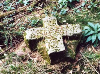
Trail On foot Brombachtal - Rundwanderweg Brombachtal 1 - Photo
On foot 6.583
Km
GUIDE+

On foot

Easy
Brombachtal, Hesse, Odenwaldkreis, Germany
6.6 km | 8.4 km-effort
1h 54min
138 m
140 m
Yes
SityTrail - itinéraires balisés pédestres

• Trail created by Geo-Naturpark Bergstraße-Odenwald. Symbol: yellow 1 in yellow circle
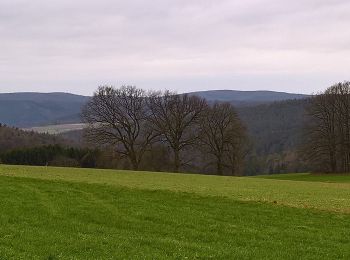
Trail On foot Brombachtal - Rundwanderweg Bad König 7 : Brombachtal-Weg - Photo
On foot 7.932
Km
GUIDE+

On foot

Easy
Brombachtal, Hesse, Odenwaldkreis, Germany
7.9 km | 10 km-effort
2h 15min
134 m
206 m
No
SityTrail - itinéraires balisés pédestres

• Trail created by Geo-Naturpark Bergstraße-Odenwald. Symbol: white 7 in a white circle with BK in a break at the top ...
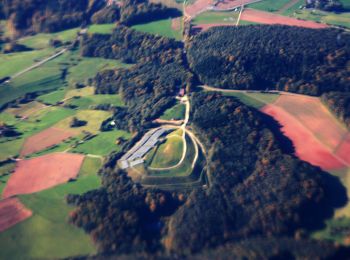
Trail On foot Brombachtal - Rundwanderweg Hembach Höhe 2 - Photo
On foot 5.405
Km
GUIDE+

On foot

Easy
Brombachtal, Hesse, Odenwaldkreis, Germany
5.4 km | 7.4 km-effort
1h 41min
156 m
136 m
Yes
SityTrail - itinéraires balisés pédestres

• Trail created by Geo-Naturpark Bergstraße-Odenwald.
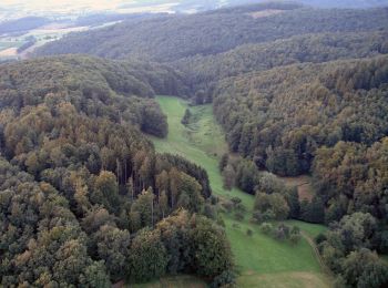
Trail On foot Brombachtal - Rundwanderweg Brombachtal Böllsteiner Höhe 3: Wallbrunner-Weg - Photo
On foot 3.438
Km
GUIDE+

On foot

Easy
Brombachtal, Hesse, Odenwaldkreis, Germany
3.4 km | 4.7 km-effort
1h 3min
91 m
91 m
Yes
SityTrail - itinéraires balisés pédestres

• Trail created by Geo-Naturpark Bergstraße-Odenwald.

Trail On foot Brombachtal - Rundwanderweg Brombachtal Böllsteiner Höhe 1: Hochwallbacher-Weg - Photo
On foot 3.246
Km
GUIDE+

On foot

Easy
Brombachtal, Hesse, Odenwaldkreis, Germany
3.2 km | 4.2 km-effort
57min
71 m
71 m
Yes
SityTrail - itinéraires balisés pédestres

• Trail created by Geo-Naturpark Bergstraße-Odenwald.

Trail On foot Brombachtal - Rundwanderweg Brombachtal Böllsteiner Höhe 2: Ahlertsbrunnen-Weg - Photo
On foot 4.438
Km
GUIDE+

On foot

Easy
Brombachtal, Hesse, Odenwaldkreis, Germany
4.4 km | 6.1 km-effort
1h 22min
124 m
117 m
Yes
SityTrail - itinéraires balisés pédestres

• Trail created by Geo-Naturpark Bergstraße-Odenwald.

12 trails displayed on 12

FREE GPS app for hiking

Logo SityTrail SityTrail

IGN / Geographical institutes

Download SityTrail from the App Store Download SityTrail from Google Play

Logo SityTrail SityTrail World

The world is yours!

Download SityTrail from the App Store Download SityTrail from Google Play Download SityTrail on Huawei AppGallery

Activities

Close
My subscriptions