


11.4 km | 16.4 km-effort
Trendelburg: Discover the best trails: 13 hiking trails. All these trails, routes and outdoor activities are available in our SityTrail applications for smartphones and tablets.

On foot


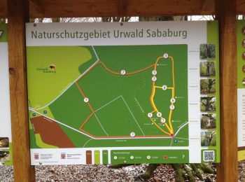
• Trail created by Naturpark Reinhardswald, Heimatverein Trendelburg.
On foot
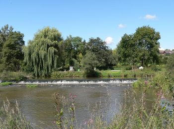
• Trail created by Landkreis Kassel.
On foot
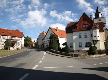
• Trail created by Stadt Trendlburg.
On foot
• Trail created by Stadt Trendlburg. Mangelhafte Ausschilderung außerhalb des Ortes
On foot
• Die Eco Pfade im Landkreis Kassel sollen dazu anregen, sich mit der Geschichte der Region zu beschäftigen, Zeugen der...
On foot
• Die Eco Pfade im Landkreis Kassel sollen dazu anregen, sich mit der Geschichte der Region zu beschäftigen, Zeugen der...
On foot
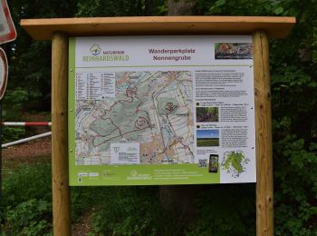
• Trail created by Hessisch-Waldeckischer Gebirgs- und Heimatverein(HWGHV).

On foot
On foot
On foot
On foot

On foot
On foot
13 trails displayed on 13
FREE GPS app for hiking
 SityTrail
IGN / Geographical institutes
SityTrail World
The world is yours!