


10.3 km | 11.6 km-effort
Baunatal: Discover the best trails: 14 hiking trails. All these trails, routes and outdoor activities are available in our SityTrail applications for smartphones and tablets.
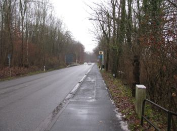
On foot


• Trail created by Hessisch-Waldeckischer Gebirgsverein(HWGH). Eröffnung am 06.09.2015 Website: http://www.dorothea...
On foot
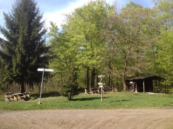
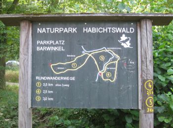
• Die Eco Pfade im Landkreis Kassel sollen dazu anregen, sich mit der Geschichte der Region zu beschäftigen, Zeugen der...
On foot
• Die Eco Pfade im Landkreis Kassel sollen dazu anregen, sich mit der Geschichte der Region zu beschäftigen, Zeugen der...
On foot
• Die Eco Pfade im Landkreis Kassel sollen dazu anregen, sich mit der Geschichte der Region zu beschäftigen, Zeugen der...
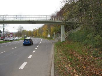
On foot
• Trail created by Hessisch-Waldeckischer Gebirgs- und Heimatverein(HWGHV).
On foot
• Trail created by Hessisch-Waldeckischer Gebirgs- und Heimatverein(HWGHV).
On foot
• Trail created by Hessisch-Waldeckischer Gebirgs- und Heimatverein(HWGHV).
On foot
• Trail created by Hessisch-Waldeckischer Gebirgs- und Heimatverein(HWGHV).
On foot
• Trail created by Hessisch-Waldeckischer Gebirgs- und Heimatverein(HWGHV).
On foot
• Trail created by Hessisch-Waldeckischer Gebirgs- und Heimatverein(HWGHV).
On foot
• Trail created by Hessisch-Waldeckischer Gebirgs- und Heimatverein(HWGHV).
On foot
• Trail created by Hessisch-Waldeckischer Gebirgs- und Heimatverein(HWGHV).

On foot
• Trail created by Hessisch-Waldeckischer Gebirgs- und Heimatverein(HWGHV).
On foot
• Trail created by Hessisch-Waldeckischer Gebirgs- und Heimatverein(HWGHV).
14 trails displayed on 14
FREE GPS app for hiking
 SityTrail
IGN / Geographical institutes
SityTrail World
The world is yours!