
Rheingau-Taunus-Kreis, Hesse: Best trails, routes and walks
Rheingau-Taunus-Kreis: Discover the best trails: 116 hiking trails. All these trails, routes and outdoor activities are available in our SityTrail applications for smartphones and tablets.
The best trails (118)
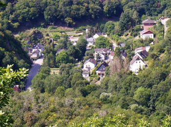
Km
On foot


• Trail created by Wisper-Trails.
Km
On foot


• Trail created by Gemeinde Stephanshausen.
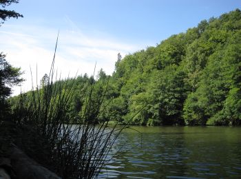
Km
On foot


• Trail created by Wisper-Trails.
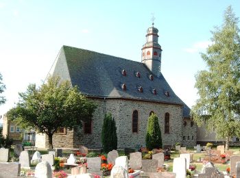
Km
On foot


• Symbol: Weißer Bachlauf in W-Form auf blauem Grund
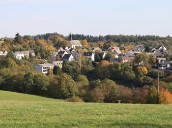
Km
On foot


• Symbol: Weißer Bachlauf in W-Form auf lila Grund
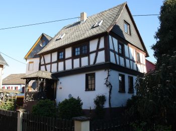
Km
On foot


• Trail created by Gemeinde Heidenrod. Symbol: Geschwungenes weißes W auf blauem Grund mit weißem Rahmen. In weiß über...
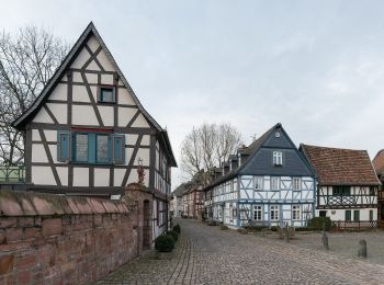
Km
On foot


• Trail created by Stadt Eltville. Symbol: Grünes, aufgeschlagenes Buch mit großem, weißen G auf der linken Seite, sch...
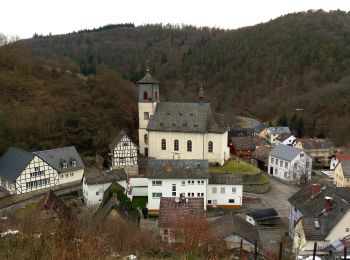
Km
On foot


• Trail created by Wisper-Trails.

Km
On foot


• Trail created by Wisper-Trails.
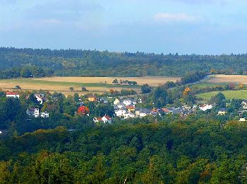
Km
On foot


• Trail created by Wisper-Trails.

Km
On foot


• Trail created by Wisper-Trails.
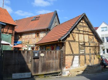
Km
On foot


• Symbol: https://upload.wikimedia.org/wikipedia/commons/9/90/ApfelweinWiesen.jpg
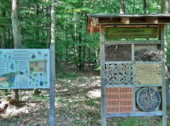
Km
On foot


• Trail created by Naturpark Rhein-Taunus.
Km
On foot


• Trail created by Naturpark Rhein-Taunus.
Km
On foot


• Trail created by DE Oberjosbach. Symbol: https://upload.wikimedia.org/wikipedia/commons/3/34/Wegsymbol-Strandweg.jpg

Km
On foot


• Trail created by Stadt Geisenheim. Symbol: Weißes Schild, oben in schwarz stilisierte Kirche hinter Baum und Rebe, d...

Km
On foot


• Trail created by Stadt Geisenheim. Symbol: Weißes Schild, oben in schwarz stilisierte Kirche hinter Baum und Rebe, d...
Km
On foot


• Trail created by Stadt Geisenheim. Symbol: Weißes Schild, oben in schwarz stilisierte Kirche hinter Baum und Rebe, d...
Km
On foot


• Trail created by Stadt Geisenheim. Symbol: Weißes Schild, oben in schwarz stilisierte Kirche hinter Baum und Rebe, d...
Km
On foot


• Trail created by Stadt Bad Schwalbach. Symbol: NW8
20 trails displayed on 118
FREE GPS app for hiking


 SityTrail


