
- Trails
- Outdoor
- Germany
- Rhineland-Palatinate
- Landkreis Bad Dürkheim
Landkreis Bad Dürkheim, Rhineland-Palatinate: Best trails, routes and walks
Landkreis Bad Dürkheim: Discover the best trails: 42 hiking trails. All these trails, routes and outdoor activities are available in our SityTrail applications for smartphones and tablets.
The best trails (42)
Km
On foot


• Symbol: Schwarze 3 auf weißer Scheibe
Km
On foot


• Trail created by Pfälzerwald-Verein.
Km
On foot


• Trail created by Pfälzerwald-Verein. unklar, wie der Weg genau heisst und wo er entspringt Symbol: schwarze 6 auf w...
Km
On foot


• Symbol: Weiße 5 auf dunklem Untergrund
Km
On foot


• Trail created by Pfälzerwald-Verein.
Km
On foot


• Trail created by Pfälzerwald-Verein.
Km
On foot


• Symbol: gelbe Scheibe mit schwarzem Klosterruinensymbol
Km
On foot


• Symbol: Grenzsteinsymbol auf weißer Scheibe
Km
On foot


• Symbol: grüne Tafel mit schwarzem Rand, orangegelber Steinarkade samt dem rot-blauen Symbol eines Brunnens
Km
On foot


• Trail created by Stadt Wachenheim. Symbol: Schwarze 15 auf weißem Punkt
Km
On foot


• Trail created by Pfälzerwald-Verein Esthal. Symbol: black::white_dot:4:black
Km
On foot


• Trail created by Pfälzerwald-Verein Esthal. Symbol: black::white_dot:2:black

Km
On foot


• Trail created by Naturpark Pfälzerwald. Symbol: Schwarze 5 auf weißem Punkt

Km
On foot


• Trail created by Naturpark Pfälzerwald. Symbol: Schwarze 4 auf weißem Punkt

Km
On foot


• Trail created by Pfälzerwald-Verein Esthal. Symbol: black::white_dot:3:black

Km
On foot


• Symbol: weißer, ausgefüllter Kreis, Beschriftung "5" in schwarz
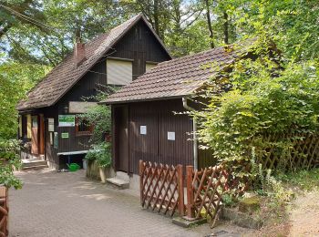
Km
On foot


• Symbol: Schwarze 5 auf weißer Scheibe
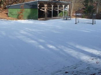
Km
On foot


• Symbol: weiße 5 auf roter Scheibe
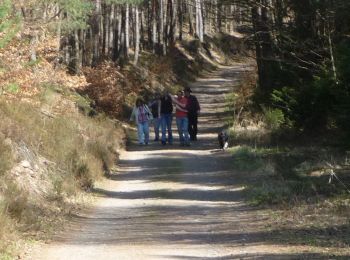
Km
On foot


• Symbol: weiße 4 auf roter Scheibe
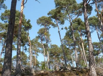
Km
On foot


• Symbol: weiße 3 auf rotem Punkt
20 trails displayed on 42
FREE GPS app for hiking


 SityTrail


