
- Trails
- Outdoor
- Germany
- Rhineland-Palatinate
- Landkreis Birkenfeld
Landkreis Birkenfeld, Rhineland-Palatinate: Best trails, routes and walks
Landkreis Birkenfeld: Discover the best trails: 21 hiking trails. All these trails, routes and outdoor activities are available in our SityTrail applications for smartphones and tablets.
The best trails (21)
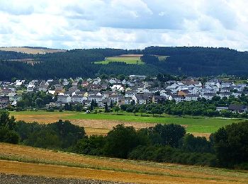
Km
On foot


• Symbol: stilisiertes S und H auf lila Grund
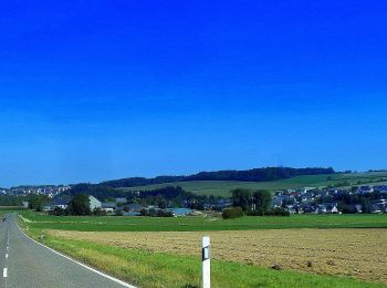
Km
On foot


• Symbol: stilisiertes S und H auf lila Grund
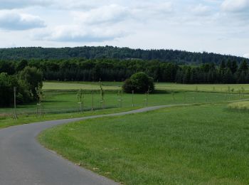
Km
On foot


• Symbol: Weißes Schild mit orangem Rechteck, darin verschlungenes "SH", darunter "Saar-Hunsrück", darunter "Steig". Ga...
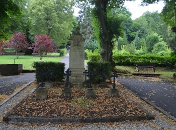
Km
On foot


• Symbol: Weißes Schild mit orangem Rechteck, darin verschlungenes "SH", darunter "Saar-Hunsrück", darunter "Steig". Ga...
Km
On foot


• Symbol: stilisiertes S und H auf lila Grund
Km
On foot


• Trail created by Projektbüro Saar-Hunsrück-Steig. Symbol: stilisiertes S und H auf lila Grund
Km
On foot


• Trail created by Projektbüro Saar-Hunsrück-Steig. Symbol: stilisiertes S und H auf lila Grund
Km
On foot


• Trail created by Natur und Wanderfreunde Heimbach. Symbol: Buchstabe B und Abbildung einer Kirche

Km
On foot


• Symbol: B1 graviert in braune Holzschilder

Km
On foot


• Symbol: alt: K1 graviert in braune Holzschilder. Zusätzlich neues Symbol: Weißes Schild, oben in schwarz "K1", darunt...
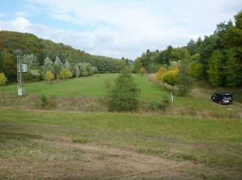
Km
On foot


• Symbol: Gelber Punkt
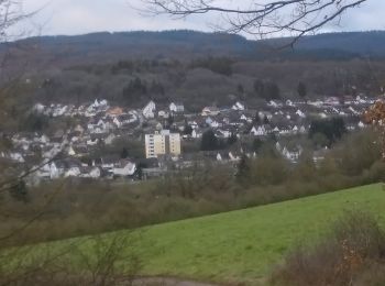
Km
On foot


• Symbol: Holzschild mit eingraviertem Text "Rundweg M3"
Km
On foot


• Symbol: Holzschild mit eingraviertem Text "Rundweg I1"
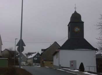
Km
On foot


• Symbol: Holzschild mit eingraviertem Text "Rundweg U2"

Km
On foot


• Trail created by Traumschleifen Saar-Hunsrück.

Km
On foot


• Trail created by Ortsgemeinde Reichenbach/Nahe. Symbol: roter Pfeil

Km
On foot


Km
On foot


• Trail created by Projektbüro Saar-Hunsrück-Steig. Symbol: stilisiertes S und H auf lila Grund

Km
On foot


• Symbol: Holzschild mit eingraviertem Text "Rundweg E1"

Km
On foot


20 trails displayed on 21
FREE GPS app for hiking


 SityTrail


