Güdesweiler, Oberthal: Best trails, routes and walks

Güdesweiler: Discover the best trails: 1 hiking trails. All these trails, routes and outdoor activities are available in our SityTrail applications for smartphones and tablets.
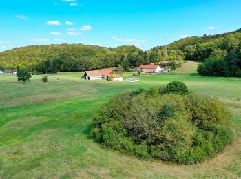

The best trails (1)

Trail On foot Oberthal - Rötelsteinpfad - Photo
On foot 14.421
Km
PRO

On foot

Medium
Oberthal, Saarland, Landkreis St. Wendel, Germany
14.4 km | 20 km-effort
4h 35min
432 m
435 m
Yes
SityTrail - itinéraires balisés pédestres

• Trail created by Sankt Wendeler Land. Symbol: weißes Quadrat mit grüner Landschaft und blauem Pfad

1 trails displayed on 1

FREE GPS app for hiking

Logo SityTrail SityTrail

IGN / Geographical institutes

Download SityTrail from the App Store Download SityTrail from Google Play

Logo SityTrail SityTrail World

The world is yours!

Download SityTrail from the App Store Download SityTrail from Google Play Download SityTrail on Huawei AppGallery

Activities

Close
My subscriptions