
Greiz, Thuringia: Best trails, routes and walks
Greiz: Discover the best trails: 14 hiking trails. All these trails, routes and outdoor activities are available in our SityTrail applications for smartphones and tablets.
The best trails (14)
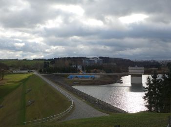
Km
On foot


• Symbol: blue letter π (Pi) and red dot on top;all together on white ground
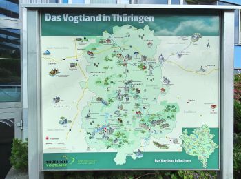
Km
On foot


• Symbol: blue letter π (Pi) and red dot on top;all together on white ground
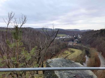
Km
On foot


• Symbol: roter Querbalken auf weißem Grund
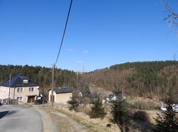
Km
On foot


• Rundweg bis auf kurze Abschnitte begangen, nicht immer mit GPS. Kleine Korrekturen werden nicht ausgeschlossen Symbo...
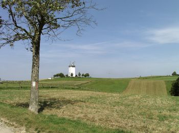
Km
On foot


• Symbol: grüner Punkt auf weißem Grund
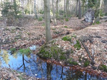
Km
On foot


• Im Januar 2014 längere Abschnitte durch Holzeinschlag aufgefahren - nur bei Frost ohne Morast begehbar. Symbol: gelb...

Km
On foot


• Im Januar 2014 längere Abschnitte durch Holzeinschlag aufgefahren - nur bei Frost ohne Morast begehbar. Symbol: gelb...
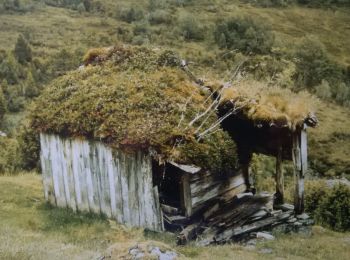
Km
On foot


• Trail created by Stadt Gera Untere Natuschutzbehörde.
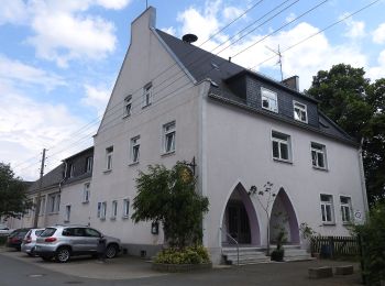
Km
On foot


• Symbol: gelber Punkt auf weißem Grund
Km
On foot


• Symbol: blue letter π (Pi) and red dot on top;all together on white ground
Km
On foot


• Symbol: blue letter π (Pi) and red dot on top;all together on white ground
Km
On foot


Km
On foot


• Symbol: blue letter π (Pi) and red dot on top;all together on white ground

Km
On foot


• Symbol: gelber Punkt auf weißem Grund
14 trails displayed on 14
FREE GPS app for hiking


 SityTrail


