
Saale-Orla-Kreis, Thuringia: Best trails, routes and walks
Saale-Orla-Kreis: Discover the best trails: 23 hiking trails. All these trails, routes and outdoor activities are available in our SityTrail applications for smartphones and tablets.
The best trails (23)
Km
On foot


• Symbol: rotes Quadrat auf weißem Spiegel
Km
On foot


• Symbol: weiß mit grünem Backslash
Km
On foot


• Symbol: Schwarze 2 im gelben Ring auf weißem Grund
Km
On foot


• Symbol: Gelber Balken auf weißem Grund
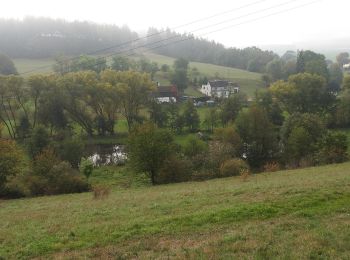
Km
On foot


• Symbol: gelber Punkt auf weißem Grund
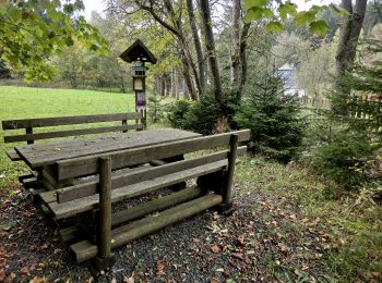
Km
On foot


• Trail created by Frankenwaldverein.
Km
On foot


• Trail created by Frankenwaldverein.
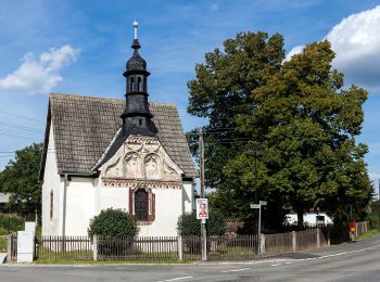
Km
On foot


• Symbol: Roter Strich auf weißem Quadrat
Km
On foot


• Symbol: Gelber Punkt auf weißem Quadrat

Km
On foot


• Symbol: roter Balken auf weißem Grund
Km
On foot


Km
On foot


Km
On foot


• Symbol: Grünes Dreieck auf weißem Untergrund

Km
On foot


Km
On foot


• Trail created by Frankenwaldverein. Symbol: grün US93 auf weißem Grund

Km
On foot


• Trail created by Frankenwaldverein. Symbol: grün US92 auf weißem Grund

Km
On foot


• Trail created by Frankenwaldverein. Symbol: grün US76 auf weißem Grund

Km
On foot


• Trail created by VG-Saale-Rennsteig.

Km
On foot


• Trail created by VG-Saale-Rennsteig.

Km
On foot


• Trail created by VG-Saale-Rennsteig.
20 trails displayed on 23
FREE GPS app for hiking


 SityTrail


