
Berlin, Germany: Best trails, routes and walks
Berlin: Discover the best trails: 15 hiking trails and 7 bike and mountain-bike routes. All these trails, routes and outdoor activities are available in our SityTrail applications for smartphones and tablets.
The best trails (22)
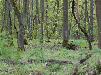
Km
On foot


• Trail created by Berliner Forsten.
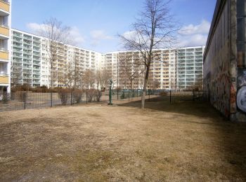
Km
On foot


• Trail created by Bezirksamt Lichtenberg von Berlin.

Km
On foot


• Trail created by Bezirksamt Lichtenberg von Berlin.
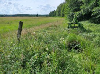
Km
On foot


• Trail created by Regionalparks Brandenburg. Gesamtlänge soll 140 km betragen Symbol: Roter Balken auf weißen Grund
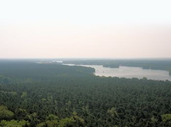
Km
On foot


• Trail created by Tourismusverein Berlin Treptow-Köpenick e.V. Symbol: green bar on white ground
Km
On foot


• Symbol: green bar on white ground
Km
On foot


• Trail created by Tourismusverein Berlin Treptow-Köpenick e.V. Symbol: green bar on white ground
Km
On foot


• Symbol: Dreieck blau, Dreieck gelb, Dreieck grün Website: http://www.stadtentwicklung.berlin.de/forsten/waldspazier...

Km
On foot


• Trail created by Reinickendorf. Symbol: red 1 in black circle on white background

Km
On foot


• Trail created by Reinickendorf. Symbol: red 4 in black circle on white background

Km
On foot


• Trail created by Reinickendorf. Symbol: red 7 in black circle on white background

Km
On foot


• Trail created by Reinickendorf. Symbol: red 2 in black circle on white background

Km
On foot


• Trail created by Reinickendorf. Symbol: red 5 in black circle on white background

Km
On foot


• Trail created by Tourismusverein Berlin Treptow-Köpenick e.V. Symbol: yellow bar on white ground

Km
Road bike


Km
Bicycle tourism


Km
Road bike


Km
Road bike


Km
Road bike


Km
Road bike


20 trails displayed on 22
FREE GPS app for hiking


 SityTrail


