![](/images/other/stat-length.png)
- Trails
- Outdoor
- Germany
- North Rhine-Westphalia
- Kreis Lippe
- Schieder-Schwalenberg
Schieder-Schwalenberg, Kreis Lippe: Best trails, routes and walks
Schieder-Schwalenberg: Discover the best trails: 8 hiking trails. All these trails, routes and outdoor activities are available in our SityTrail applications for smartphones and tablets.
The best trails (8)
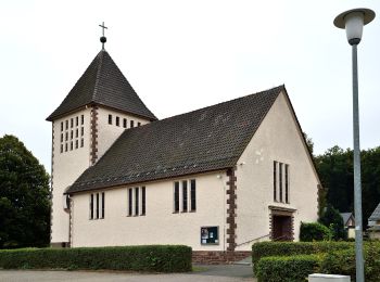
![Trail On foot Schieder-Schwalenberg - Rundwanderweg A1 Bennerberg - Photo](https://media.geolcdn.com/t/350/260/5f894ec9-4f14-42a1-b9f9-509bcea5e8bc.jpeg&format=jpg&maxdim=2)
![On foot On foot](https://static1.geolcdn.com/sitytour/trail-icons/100.png)
Km
On foot
![](/images/other/stat-length.png)
![](https://static1.geolcdn.com/siteimages/upload/files/1508320355ic_sort_den_pos_24dp.png)
![](https://static1.geolcdn.com/siteimages/upload/files/1508320355ic_sort_den_neg_24dp.png)
![](https://static1.geolcdn.com/siteimages/upload/files/16400158638029165_repeat_loop_refresh_sync_direction_icon.png)
• Symbol: Weißer Text A1 auf schwarzem Grund
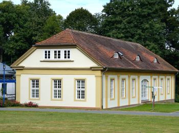
![Trail On foot Schieder-Schwalenberg - Wanderweg A1 bei Schieder - Photo](https://media.geolcdn.com/t/350/260/8c6aa906-5d41-46d2-b17e-0b359c590c55.jpeg&format=jpg&maxdim=2)
![On foot On foot](https://static1.geolcdn.com/sitytour/trail-icons/100.png)
Km
On foot
![](/images/other/stat-length.png)
![](https://static1.geolcdn.com/siteimages/upload/files/1508320355ic_sort_den_pos_24dp.png)
![](https://static1.geolcdn.com/siteimages/upload/files/1508320355ic_sort_den_neg_24dp.png)
![](https://static1.geolcdn.com/siteimages/upload/files/16400158638029165_repeat_loop_refresh_sync_direction_icon.png)
• Symbol: Weißer Text A1 auf schwarzem Grund
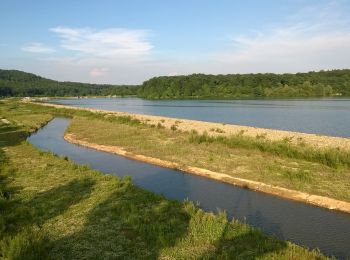
![Trail On foot Schieder-Schwalenberg - Wanderweg A2 Glashütte Siekholz - Photo](https://media.geolcdn.com/t/350/260/023ab054-6fea-48c8-a522-1616644f84c4.jpeg&format=jpg&maxdim=2)
![On foot On foot](https://static1.geolcdn.com/sitytour/trail-icons/100.png)
Km
On foot
![](/images/other/stat-length.png)
![](https://static1.geolcdn.com/siteimages/upload/files/1508320355ic_sort_den_pos_24dp.png)
![](https://static1.geolcdn.com/siteimages/upload/files/1508320355ic_sort_den_neg_24dp.png)
![](https://static1.geolcdn.com/siteimages/upload/files/16400158638029165_repeat_loop_refresh_sync_direction_icon.png)
• Symbol: weißes A2 auf schwarzem Grund
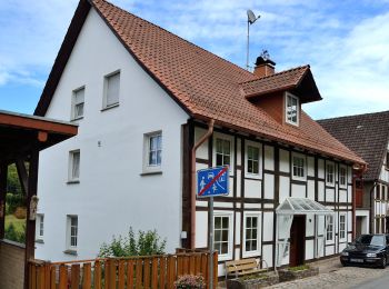
![Trail On foot Schieder-Schwalenberg - Stadtwasser - Photo](https://media.geolcdn.com/t/350/260/272cf27e-5f12-4043-9815-e419c6ef24a8.jpeg&format=jpg&maxdim=2)
![On foot On foot](https://static1.geolcdn.com/sitytour/trail-icons/100.png)
Km
On foot
![](/images/other/stat-length.png)
![](https://static1.geolcdn.com/siteimages/upload/files/1508320355ic_sort_den_pos_24dp.png)
![](https://static1.geolcdn.com/siteimages/upload/files/1508320355ic_sort_den_neg_24dp.png)
![](https://static1.geolcdn.com/siteimages/upload/files/16400158638029165_repeat_loop_refresh_sync_direction_icon.png)
• Symbol: Weißer Text A2 auf schwarzem Grund
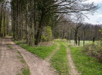
![Trail On foot Schieder-Schwalenberg - Wanderweg A6 (bei Schwalenberg) - Photo](https://media.geolcdn.com/t/350/260/e59a9f10-fef7-40f3-babd-ecf42c2542ba.jpeg&format=jpg&maxdim=2)
![On foot On foot](https://static1.geolcdn.com/sitytour/trail-icons/100.png)
Km
On foot
![](/images/other/stat-length.png)
![](https://static1.geolcdn.com/siteimages/upload/files/1508320355ic_sort_den_pos_24dp.png)
![](https://static1.geolcdn.com/siteimages/upload/files/1508320355ic_sort_den_neg_24dp.png)
![](https://static1.geolcdn.com/siteimages/upload/files/16400158638029165_repeat_loop_refresh_sync_direction_icon.png)
• Symbol: weißes A6 auf schwarzem Grund
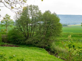
![Trail On foot Schieder-Schwalenberg - Wanderweg _|_Schieder <-> Elbrinxen - Photo](https://media.geolcdn.com/t/350/260/6486fa3b-9b23-485b-9121-6218f99047cf.jpeg&format=jpg&maxdim=2)
![On foot On foot](https://static1.geolcdn.com/sitytour/trail-icons/100.png)
Km
On foot
![](/images/other/stat-length.png)
![](https://static1.geolcdn.com/siteimages/upload/files/1508320355ic_sort_den_pos_24dp.png)
![](https://static1.geolcdn.com/siteimages/upload/files/1508320355ic_sort_den_neg_24dp.png)
![](https://static1.geolcdn.com/siteimages/upload/files/16400158638029165_repeat_loop_refresh_sync_direction_icon.png)
• Symbol: weises gedrehtes T auf schwarzem Grund
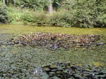
![Trail On foot Schieder-Schwalenberg - Wanderweg A7 (bei Schieder) - Photo](https://media.geolcdn.com/t/350/260/f201203c-a15a-4ff7-bed7-cb8fb396c339.jpeg&format=jpg&maxdim=2)
![On foot On foot](https://static1.geolcdn.com/sitytour/trail-icons/100.png)
Km
On foot
![](/images/other/stat-length.png)
![](https://static1.geolcdn.com/siteimages/upload/files/1508320355ic_sort_den_pos_24dp.png)
![](https://static1.geolcdn.com/siteimages/upload/files/1508320355ic_sort_den_neg_24dp.png)
![](https://static1.geolcdn.com/siteimages/upload/files/16400158638029165_repeat_loop_refresh_sync_direction_icon.png)
![Trail On foot Schieder-Schwalenberg - Parkplatz](https://media.geolcdn.com/t/350/260/ext.jpg?maxdim=2&url=https%3A%2F%2Fstatic1.geolcdn.com%2Fsiteimages%2Fupload%2Ffiles%2F1545311037marcheuse_200dpi.jpg)
![On foot On foot](https://static1.geolcdn.com/sitytour/trail-icons/100.png)
Km
On foot
![](/images/other/stat-length.png)
![](https://static1.geolcdn.com/siteimages/upload/files/1508320355ic_sort_den_pos_24dp.png)
![](https://static1.geolcdn.com/siteimages/upload/files/1508320355ic_sort_den_neg_24dp.png)
![](https://static1.geolcdn.com/siteimages/upload/files/16400158638029165_repeat_loop_refresh_sync_direction_icon.png)
8 trails displayed on 8
FREE GPS app for hiking