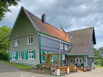
Wuppertal, North Rhine-Westphalia: Best trails, routes and walks

Wuppertal: Discover the best trails: 12 hiking trails. All these trails, routes and outdoor activities are available in our SityTrail applications for smartphones and tablets.


The best trails (12)
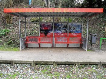
Trail On foot  - Eulenkopf Rundweg 1 - Photo
On foot 9.572
Km
GUIDE+

On foot

Easy
, North Rhine-Westphalia, Wuppertal, Germany
9.6 km | 12.6 km-effort
2h 51min
227 m
221 m
Yes
SityTrail - itinéraires balisés pédestres

• Trail created by Sauerländischer Gebirgsverein.

Trail On foot  - Rund um Wuppertal - Photo
On foot 104.251
Km
GUIDE+

On foot

Very difficult
, North Rhine-Westphalia, Wuppertal, Germany
104 km | 138 km-effort
31h 25min
2554 m
2544 m
Yes
SityTrail - itinéraires balisés pédestres

• Trail created by Sauerländischer Gebirgsverein. Symbol: W im Kreis
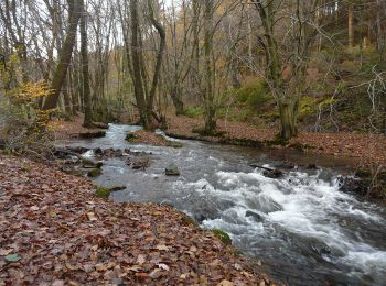
Trail On foot  - Gelpetal Rundweg A2 - Photo
On foot 6.848
Km
GUIDE+

On foot

Easy
, North Rhine-Westphalia, Wuppertal, Germany
6.8 km | 9.1 km-effort
2h 4min
166 m
182 m
Yes
SityTrail - itinéraires balisés pédestres

• Symbol: A2

Trail On foot  - Frielinghausen Rundweg A1 - Photo
On foot 3.032
Km
GUIDE+

On foot

Easy
, North Rhine-Westphalia, Wuppertal, Germany
3 km | 3.8 km-effort
51min
57 m
55 m
Yes
SityTrail - itinéraires balisés pédestres

• Trail created by Sauerländischer Gebirgsverein.

Trail On foot  - Walbrecken Rundweg A4 - Photo
On foot 7.499
Km
GUIDE+

On foot

Easy
, North Rhine-Westphalia, Wuppertal, Germany
7.5 km | 9.4 km-effort
2h 7min
144 m
125 m
No
SityTrail - itinéraires balisés pédestres

• Trail created by Sauerländischer Gebirgsverein. Symbol: A4 auf schwarzem Grund
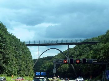
Trail On foot  - Gräfrath Rundweg A2 - Photo
On foot 3.067
Km
GUIDE+

On foot

Easy
, North Rhine-Westphalia, Wuppertal, Germany
3.1 km | 4.4 km-effort
1h 0min
97 m
111 m
No
SityTrail - itinéraires balisés pédestres

• Trail created by Sauerländischer Gebirgsverein. Symbol: A2

Trail On foot  - Küllenhahn Rundweg A2 - Photo
On foot 5.975
Km
GUIDE+

On foot

Easy
, North Rhine-Westphalia, Wuppertal, Germany
6 km | 7.6 km-effort
1h 44min
126 m
123 m
No
SityTrail - itinéraires balisés pédestres

• Trail created by Sauerländischer Gebirgsverein.
Trail On foot  - Küllenhahn Rundweg A1 - Photo
On foot 3.669
Km
GUIDE+

On foot

Easy
, North Rhine-Westphalia, Wuppertal, Germany
3.7 km | 5.2 km-effort
1h 10min
116 m
111 m
Yes
SityTrail - itinéraires balisés pédestres

Trail On foot  - SGV Rundwanderweg A2 (Ehrenberg) - Photo
On foot 3.612
Km
GUIDE+

On foot

Easy
, North Rhine-Westphalia, Wuppertal, Germany
3.6 km | 5.2 km-effort
1h 11min
144 m
49 m
No
SityTrail - itinéraires balisés pédestres

• Symbol: A2

Trail On foot  - DE-A4 - Photo
On foot 9.416
Km
GUIDE+

On foot

Easy
, North Rhine-Westphalia, Wuppertal, Germany
9.4 km | 12.2 km-effort
2h 46min
210 m
210 m
Yes
SityTrail - itinéraires balisés pédestres

Trail On foot  - DE-A2 - Photo
On foot 8.121
Km
GUIDE+

On foot

Easy
, North Rhine-Westphalia, Wuppertal, Germany
8.1 km | 10.9 km-effort
2h 28min
207 m
210 m
Yes
SityTrail - itinéraires balisés pédestres

Trail On foot  - Laaken Rundweg A6 - Photo
On foot 6.02
Km
GUIDE+

On foot

Easy
, North Rhine-Westphalia, Wuppertal, Germany
6 km | 8.9 km-effort
2h 0min
214 m
213 m
Yes
SityTrail - itinéraires balisés pédestres

12 trails displayed on 12

FREE GPS app for hiking

Logo SityTrail SityTrail

IGN / Geographical institutes

Download SityTrail from the App Store Download SityTrail from Google Play

Logo SityTrail SityTrail World

The world is yours!

Download SityTrail from the App Store Download SityTrail from Google Play Download SityTrail on Huawei AppGallery

Activities

Close
My subscriptions