Hövelhof, Kreis Paderborn: Best trails, routes and walks

Hövelhof: Discover the best trails: 6 hiking trails. All these trails, routes and outdoor activities are available in our SityTrail applications for smartphones and tablets.


The best trails (6)
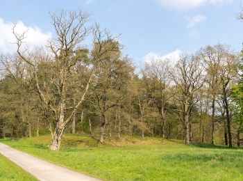
Trail On foot Hövelhof - A5 Ems-Erlebnisweg - Photo
On foot 4.958
Km
GUIDE+

On foot

Easy
Hövelhof, North Rhine-Westphalia, Kreis Paderborn, Germany
5 km | 5.4 km-effort
1h 14min
36 m
36 m
Yes
SityTrail - itinéraires balisés pédestres

• Trail created by Teutoburger-Wald-Verein. Symbol: black stickfigure surfing a blue wave, all on a blue sky backgroun...
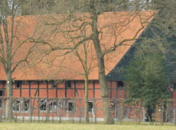
Trail On foot Hövelhof - Rundwanderweg A5 - Furlbach – Rixelknapp - Photo
On foot 3.32
Km
GUIDE+

On foot

Easy
Hövelhof, North Rhine-Westphalia, Kreis Paderborn, Germany
3.3 km | 3.6 km-effort
49min
24 m
27 m
Yes
SityTrail - itinéraires balisés pédestres

• Symbol: white text A5 on black background

Trail On foot Hövelhof - Heimatkundlicher Wanderweg Hövelhofer Wald - Photo
On foot 6.218
Km
GUIDE+

On foot

Easy
Hövelhof, North Rhine-Westphalia, Kreis Paderborn, Germany
6.2 km | 6.8 km-effort
1h 33min
48 m
45 m
Yes
SityTrail - itinéraires balisés pédestres

• Symbol: black post horn on yellow background
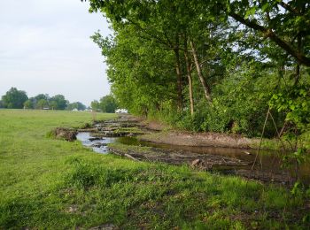
Trail On foot Hövelhof - A1 (Hövelhof) Fünf-Bäche-Weg - Photo
On foot 15.921
Km
GUIDE+

On foot

Easy
Hövelhof, North Rhine-Westphalia, Kreis Paderborn, Germany
15.9 km | 17.2 km-effort
3h 55min
99 m
99 m
Yes
SityTrail - itinéraires balisés pédestres

• Trail created by Eggegebirgsverein. Symbol: white text A1 on black background
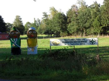
Trail On foot Hövelhof - A3 (Hövelhof) - Photo
On foot 4.09
Km
GUIDE+

On foot

Easy
Hövelhof, North Rhine-Westphalia, Kreis Paderborn, Germany
4.1 km | 4.4 km-effort
1h 0min
24 m
24 m
Yes
SityTrail - itinéraires balisés pédestres

• Symbol: white text A3 on black background

Trail On foot Hövelhof - Emsquellen Rundwanderweg - Photo
On foot 13.873
Km
GUIDE+

On foot

Easy
Hövelhof, North Rhine-Westphalia, Kreis Paderborn, Germany
13.9 km | 15.3 km-effort
3h 28min
104 m
103 m
No
SityTrail - itinéraires balisés pédestres

• Trail created by Eggegebirgsverein. Symbol: blue spring streams from yellow "sandy" ground, on top of the white text...

6 trails displayed on 6

FREE GPS app for hiking

Logo SityTrail SityTrail

IGN / Geographical institutes

Download SityTrail from the App Store Download SityTrail from Google Play

Logo SityTrail SityTrail World

The world is yours!

Download SityTrail from the App Store Download SityTrail from Google Play Download SityTrail on Huawei AppGallery

Activities

Close
My subscriptions